(No Information Available)

Courtesy of Medicine Hat and District Genealogical Society (MHDGS)

Deaths

Longevity

Address

Township Road 91 and Range Road 91
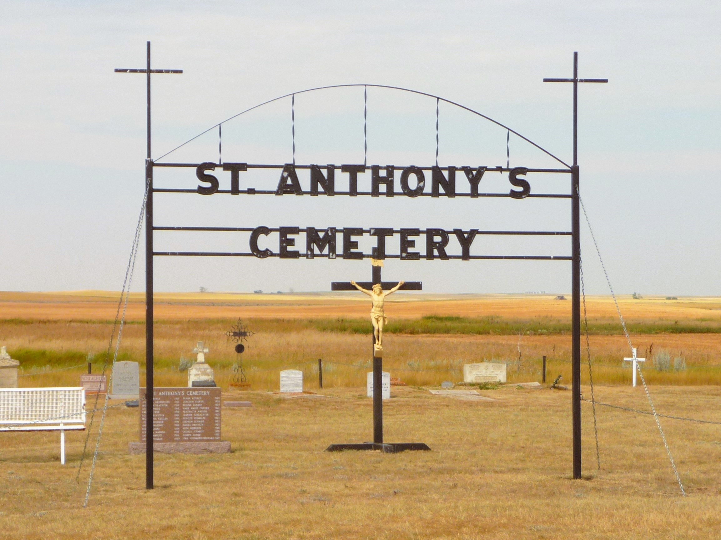
Nearest Populated Centre: Maleb,
Province: Alberta

Map Location

Latitude, Longitude
49.70723, -111.11426

Map Location

Search for:
RESET
Surname Given Name Born Died Age Photos Cemetery R Code

The 25 most common surnames found in this cemetery.

loader

The 25 most common given names found in this cemetery.

loader

Other Cemeteries

Mountain View Cemetery (Banff National Park)

1029 Banff Avenue , Banff , Alberta

Millarville Cemetery (Foothills County)

Highway 49 , Millarville , Alberta

Cravath Corners Cemetery (Wardlow, Special Area No. 2)

Range Road 513 S of Cessford , Wardlow , Alberta

Foremost Cemetery (Forty Mile County)

Township Road 61 and Range Road 115 , Foremost , Alberta

Torrington West Cemetery (Kneehill County)

263074 Hwy 27 , Torrington , Alberta

Hainstock Cemetery (Mountain View County)

Highway 27; 5 km west of Olds , Olds , Alberta

Namaka Mennonite Cemetery (Wheatland County)

Namaka, Strathmore Census Division , Carseland , Alberta

St. Joseph's Cemetery (Foremost, Forty Mile County)

Township Road 72 and Range road 113 , Foremost , Alberta

Bellevue Union Cemetery (Crowsnest Pass)

Larch Ave , Bellevue , Alberta

St. Paul's Anglican Cemetery (Calgary)

14620 Macleod Tr SE (access off 146 Ave SE & Bannister Rd) , Calgary , Alberta

Discover Alberta Ancestors