(No Information Available)

Courtesy of Medicine Hat and District Genealogical Society (MHDGS)

Deaths

Longevity

Address

Township Road 91 and Range Road 91
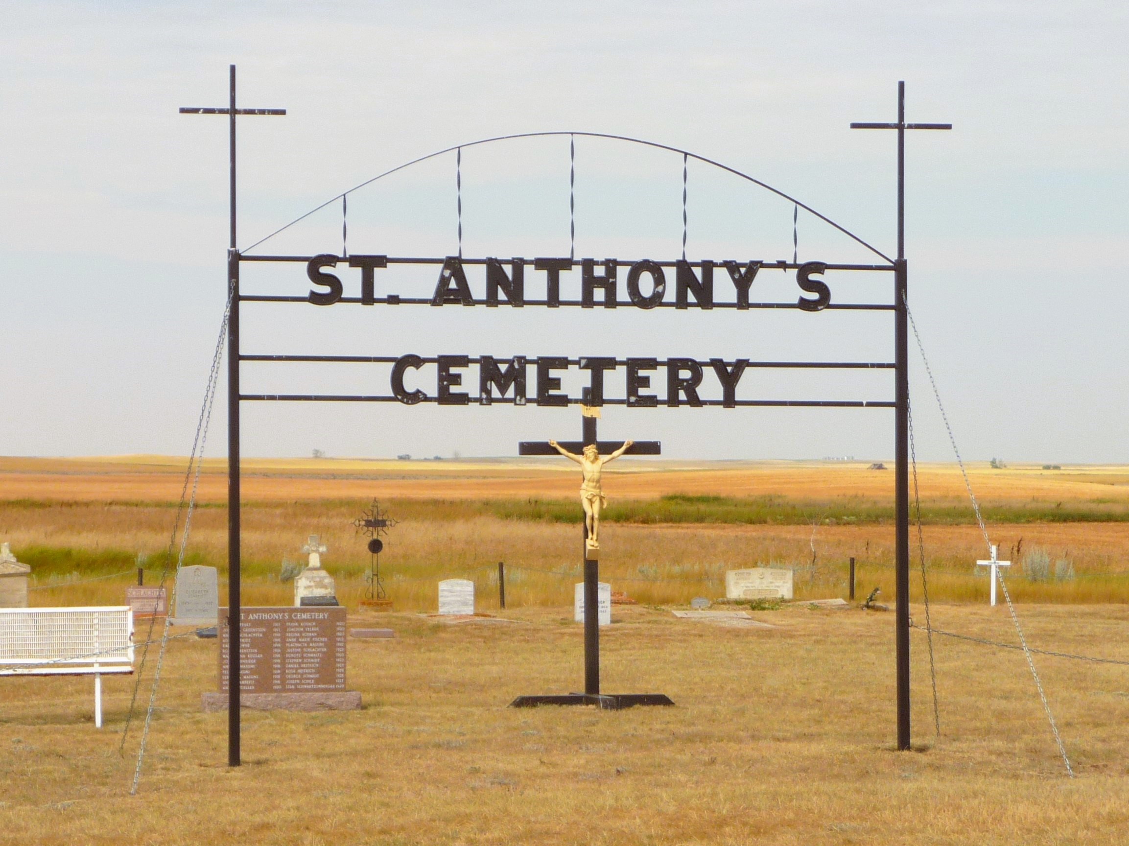
Nearest Populated Centre: Maleb,
Province: Alberta

Map Location

Latitude, Longitude
49.70723, -111.11426

Map Location

Search for:
RESET
Surname Given Name Born Died Age Photo(s) Cemetery Obituary Narrative R Code

The 25 most common surnames found in this cemetery.

loader

The 25 most common given names found in this cemetery.

loader

Other Cemeteries

Chinook Cemetery (Special Area No. 3)

Range Road 74 and Township Road 290 , Chinook (NW of Cereal) , Alberta

Albion Ridge Cemetery (Lethbridge County)

Range Rd 22-2 & Twp Rd 12-0 , Barons , Alberta

Freudental Carbon Cemetery (Kneehill County)

234002 Twp Rd 284 , Carbon , Alberta

Beiseker Community Cemetery (Rocky View County)

Range Rd 262, south of Township Rd 282 , Beiseker , Alberta

Poplar Valley Cemetery (Wetaskiwin County)

462061 Range Road 43A , Winfield , Alberta

Enchant Cemetery (MD of Taber)

142044 Range Road 185 , Enchant , Alberta

Highfield Christian Reformed Cemetery (Forty Mile County)

Highway 879, Township Road 80, Range Road 121 , Burdett , Alberta

Hand Hills Baptist Cemetery (Special Area No. 2)

Range Road 163 and Township Road 302 , Hanna , Alberta

St. Mary's Cemetery (Beiseker, Rocky View County)

Township Rd 282 & Range Rd 261 , Beiseker , Alberta

Walsh Community Cemetery (Cypress County)

Township Road 114 and Range Road 13 , Walsh , Alberta

Discover Alberta Ancestors