(No Information Available)

Courtesy of Medicine Hat and District Genealogical Society (MHDGS)

Deaths

Longevity

Address

Township Road 91 and Range Road 91
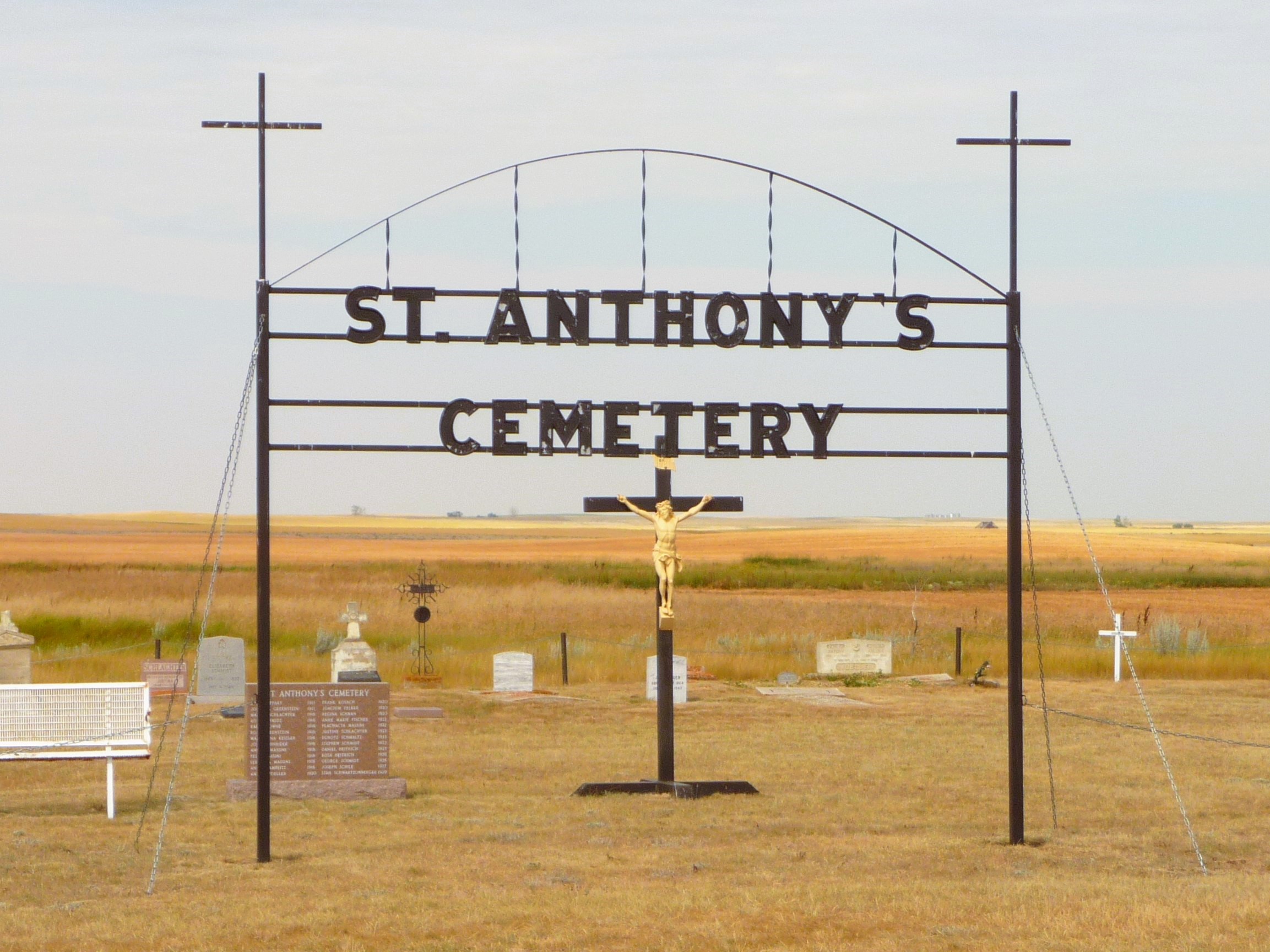
Nearest Populated Centre: Maleb,
Province: Alberta

Map Location

Latitude, Longitude
49.70723, -111.11426

Map Location

Search for:
RESET
Surname Given Name Born Died Age Photo(s) Cemetery Obituary Narrative R Code

The 25 most common surnames found in this cemetery.

loader

The 25 most common given names found in this cemetery.

loader

Other Cemeteries

Linden Cemetery (Kneehill County)

303081 Range Road 253 , Linden , Alberta

Christ Lutheran Cemetery (Red Deer County)

Township Road 370 and Range Road 32 , Spruce View , Alberta

Gaetz Cemetery (Clearwater County)

Range Road 41 S of Township Road 380 , Condor , Alberta

Blackie Cemetery (Foothills County)

490001 Hwy 799 , Blackie , Alberta

Irricana Town Cemetery (Rocky View County)

Cemetery Rd & Hendricks Dr , Irricana , Alberta

Davisburg Cemetery (Foothills County)

274204 96 St E , De Winton , Alberta

Munson Cemetery (Starland County)

Highway 9 south of Munson , Munson , Alberta

Irricana United Church Cemetery (Rocky View County)

Hwy 567 & Range Rd 274 , Irricana , Alberta

Westview Cemetery (Grassy Lake, MD of Taber)

84028 Range Road 135 , Grassy Lake , Alberta

St. Rita's Cemetery (Rockyford, Wheatland County)

412 Serviceberry Trail , Rockyford , Alberta

Discover Alberta Ancestors