(No Information Available)

Courtesy of Medicine Hat and District Genealogical Society (MHDGS)

Deaths

Longevity

Address

Township Road 91 and Range Road 91
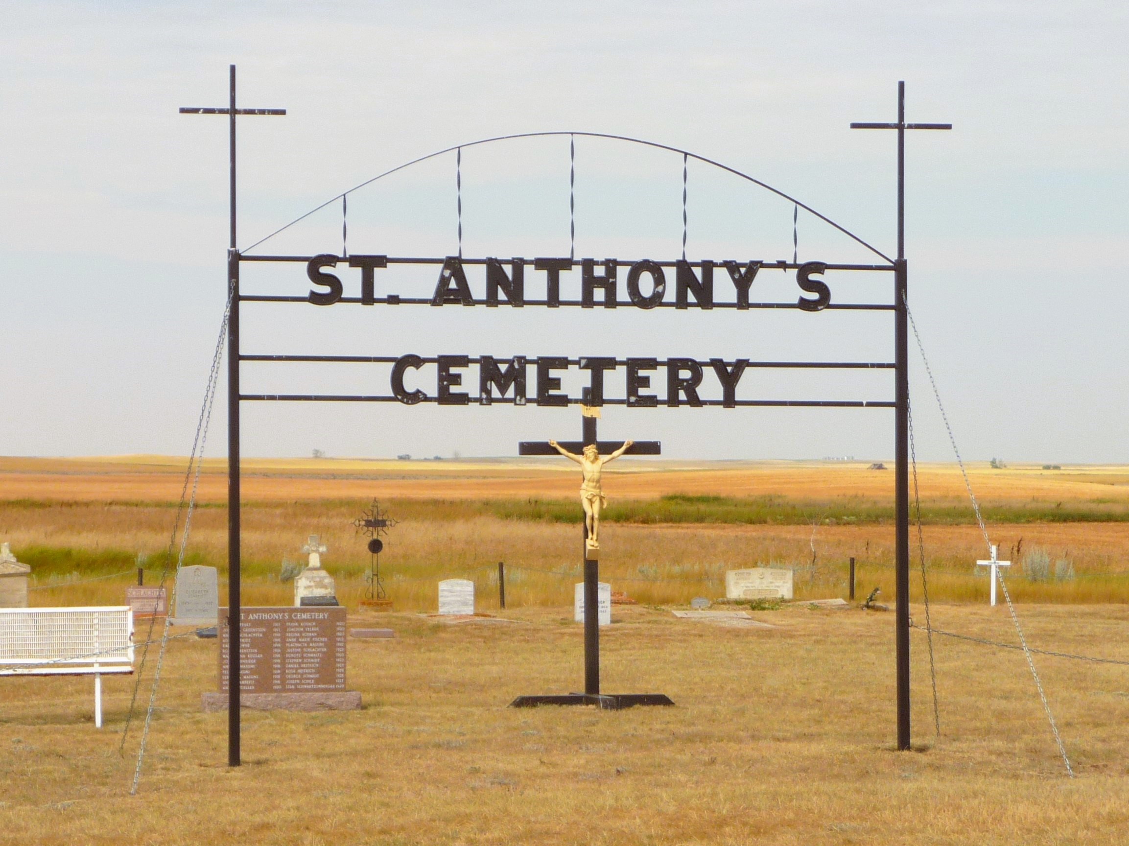
Nearest Populated Centre: Maleb,
Province: Alberta

Map Location

Latitude, Longitude
49.70723, -111.11426

Map Location

Search for:
RESET
Surname Given Name Born Died Age Photo(s) Cemetery Obituary Narrative R Code

The 25 most common surnames found in this cemetery.

loader

The 25 most common given names found in this cemetery.

loader

Other Cemeteries

Namaka Mennonite Cemetery (Wheatland County)

Namaka, Strathmore Census Division , Carseland , Alberta

Wayne Community Cemetery (Town Of Drumheller)

Excelsior Avenue , Wayne , Alberta

Prospy Cemetery (Forty Mile County)

Highway 885, Township Road 81 and Range Road 92 , Etzikom , Alberta

St. Joseph's Cemetery (Schuler, Cypress County)

Twp Rd 162 and Rge Rd 13 , Schuler , Alberta

Bethel Carbon Cemetery (Kneehill County)

Twp Rd 284 & Twp Rd 836 , Carbon , Alberta

New Home Cemetery (Forty Mile County)

Township Road 63 and Range Road 50A , Manyberries , Alberta

Krasivaya Dolina Doukhobor Cemetery (Vulcan County)

Rge Rd 222 north of Hwy 542 , Queenstown , Alberta

Lobley Cemetery (Mountain View County)

Range Rd 61 south of Township Rd 344 , Sundre , Alberta

Chancellor Cemetery (Wheatland County)

S of AB 561E on Twp Rd 245A , Chancellor , Alberta

Discover Alberta Ancestors