Bloomsbury is an unincorporated community in central Alberta in the County of Barrhead No. 11, located 6 km north of Highway 33, approximately 100 kilometres northwest of Edmonton. The cemetery is located at the northeast corner of Township Road 604 and Range Road 35.

Deaths

Longevity

Address

Township Road 604 and Range Road 35
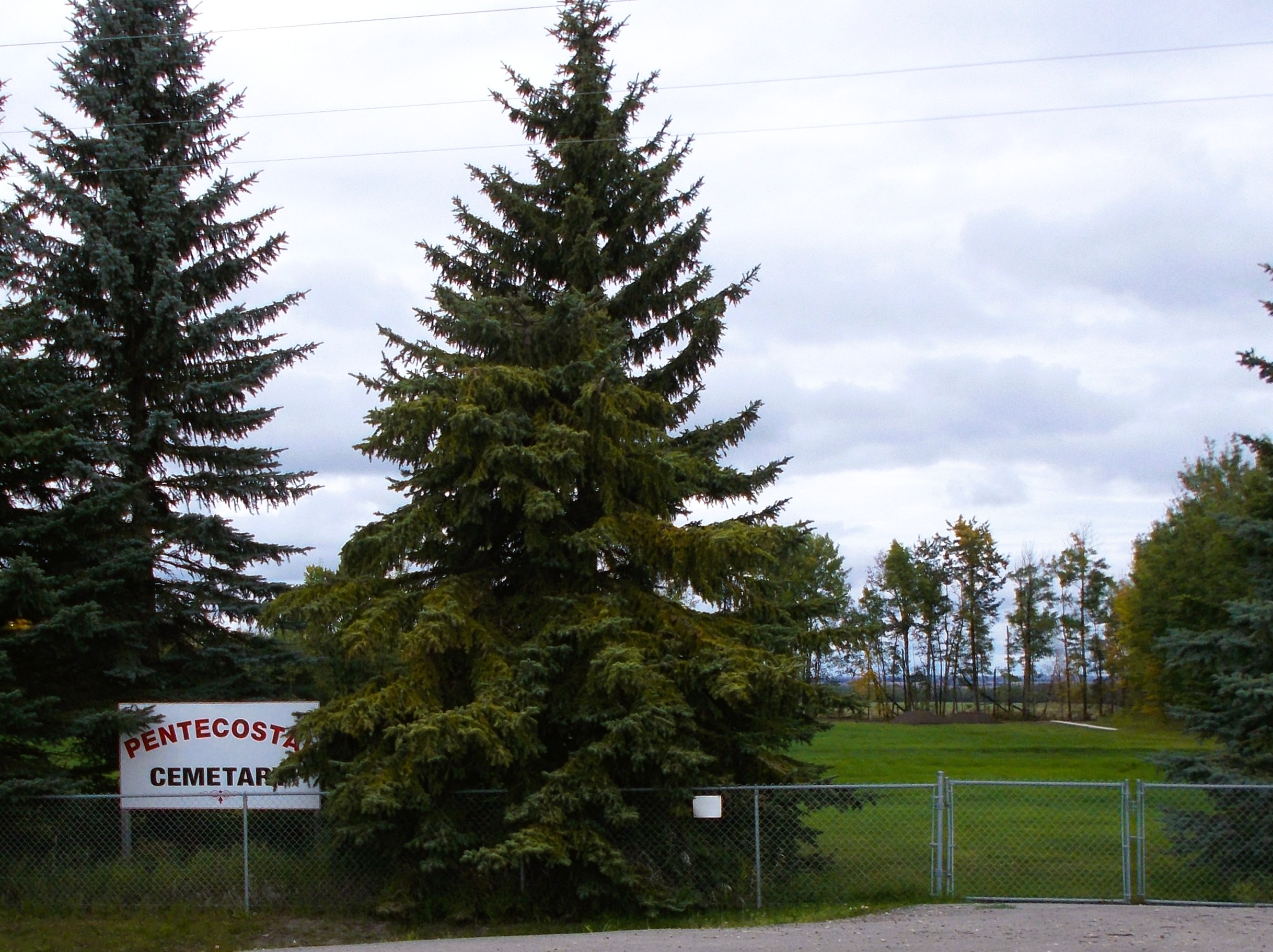
Nearest Populated Centre: Bloomsbury,
Province: Alberta

Map Location

Latitude, Longitude
54.21065, -114.42657

Map Location

Search for:
RESET
Surname Given Name Born Died Age Photo(s) Cemetery Obituary Narrative R Code

The 25 most common surnames found in this cemetery.

loader

The 25 most common given names found in this cemetery.

loader

Other Cemeteries

Kin Coulee Cemetery (Medicine Hat)

Old Cemetery Rd SE , Medicine Hat , Alberta

Trinity Mennonite Church Cemetery (Foothills County)

434 Ave E & 144 St E , Aldersyde , Alberta

Burnsland Cemetery (Calgary)

3020 Spiller Rd SE , Calgary , Alberta

Caldwell-Moir Cemetery (Cardston County)

Range Road 280 S of Township Road 25A/B , Mountain View , Alberta

O Perfect Peace Cemetery (Vulcan County)

Range Road 212 between Township Roads 190 and 192 , Milo , Alberta

Millarville Cemetery (Foothills County)

Highway 49 , Millarville , Alberta

Benalto Cemetery (Red Deer County)

Range Road 25 S of Township Road 385 , Benalto , Alberta

Barons Cemetery (Lethbridge County)

Twp Rd 23 south of Rge Rd 520 , Barons , Alberta

St. Andrews Cemetery (Cochrane, Rocky View County)

427 Centre Ave N , Cochrane , Alberta

Sarcee Butte Cemetery (Kneehill County)

311012 Range Road 221 , Three Hills , Alberta

Discover Alberta Ancestors