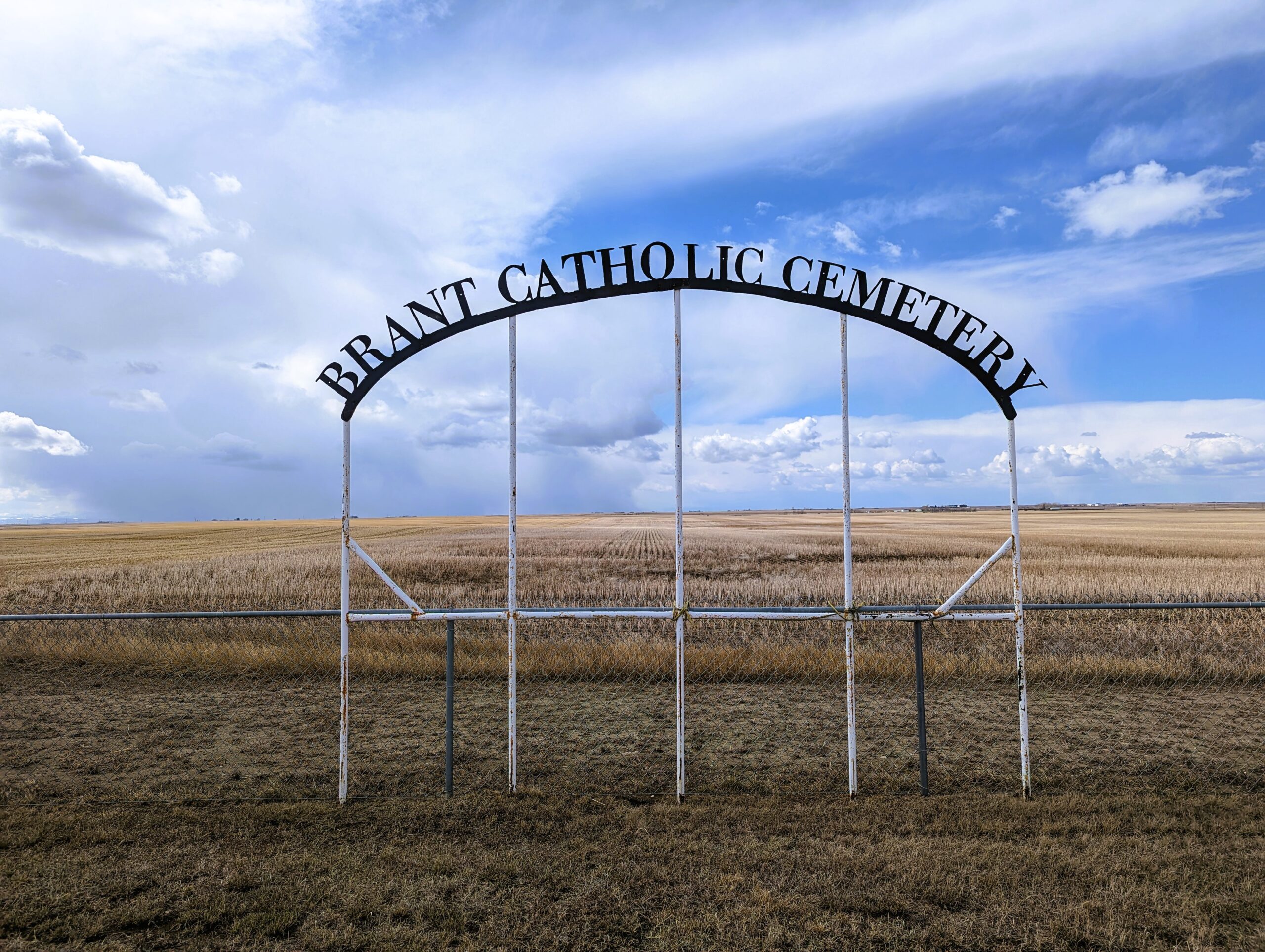
Hwy 804 south of Twp Rd Twp Rd 182

The hamlet of Brant is an hour’s drive southeast of downtown Calgary. Once a bustling settlement during the homesteading era between 1906 and 1914, Brant was one of the first towns to be built along the new Canadian and Pacific Railroad line. The town started with a population of 125 residents in 1914, and grew steadily over the years. The period from 1919 to 1929 was particularly prosperous, with good crop yields unlike the dried-out areas to the east. However, poor crops in the later years led to a reduction in train services, causing a decline in the population. By 1966, the population had dwindled to just 51 residents. Today, Brant stands as a ghost town, its many empty buildings a silent reminder of its past. Yet, there is a certain charm to this place. A lone prairie grain elevator reaches for the big Alberta sky, standing proudly in the small hamlet.
Just a short distance away lies the Brant Catholic Cemetery. While not much information is readily available about this particular cemetery, it is part of the County of Brant’s network of cemeteries. As of 2024, there are 64 persons recorded interred at Brant Cemetery.
Visiting Brant offers a unique opportunity to step back in time and explore Alberta’s history. From the ghost town’s empty buildings to the quiet serenity of the Brant Cemetery, each location tells a story of the people who once called this place home.
Address
Hwy 804 south of Twp Rd Twp Rd 182
Nearest Populated Centre: Brant,
Province: Alberta
Map Location
Latitude, Longitude
50.50659, -113.50701
Map Location
| Surname | Given Name | Born | Died | Age | Photos | Cemetery | R Code |
|---|---|---|---|---|---|---|---|
The 25 most common surnames found in this cemetery.

The 25 most common given names found in this cemetery.

