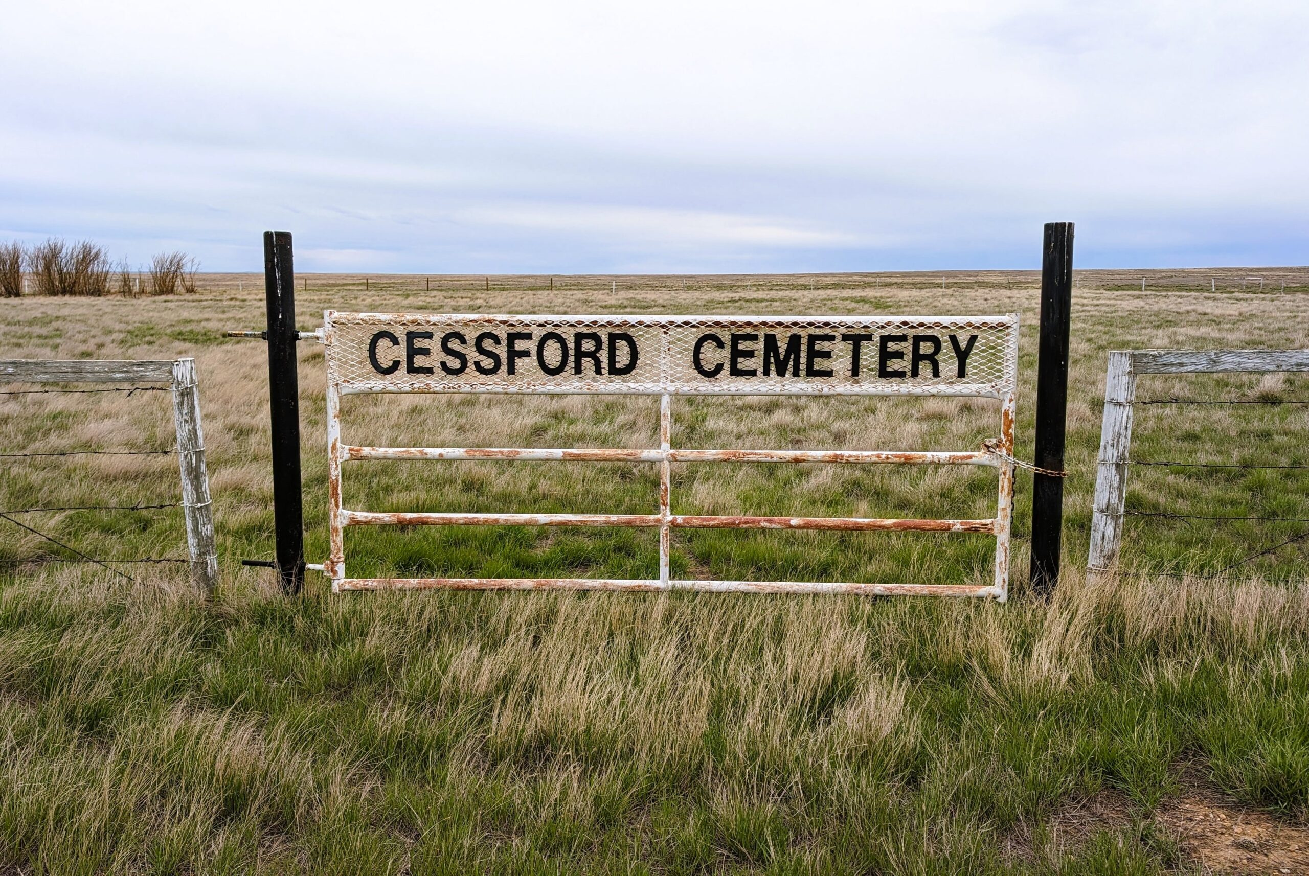
Cessford is a hamlet on Secondary Highway 876, approximately 100 kilometers southeast of Drumheller. Axel Anderson and his wife came from Cass Ford, Sweden, and they names their homestead Cess Ford, according to the farm’s later owner, longtime resident Dorothy Williams. Mrs. A.E. Anderson served as postmistress from 1910-1917 and evidently operated the post office out of her farmhouse pantry. The post office shortened the homestead name to Cessford.

Deaths

Longevity

Address

Highway 561 E of Highway 876
Nearest Populated Centre: Cessford,
Province: Alberta

Map Location

Latitude, Longitude
51.00826, -111.47107

Map Location

Search for:
RESET
Surname Given Name Born Died Age Photo(s) Cemetery Obituary Narrative R Code

The 25 most common surnames found in this cemetery.

loader

The 25 most common given names found in this cemetery.

loader

Other Cemeteries

Bergthal Cemetery (Mountain View County)

31-30539 Rge Rd 285 , NE of Carstairs , Alberta

Hillcrest Cemetery (Crowsnest Pass)

223 St , Hillcrest Mines , Alberta

Coleman Union Cemetery (Crowsnest Pass)

27 Ave & 28 Ave , Coleman , Alberta

Ferrybank Cemetery (Ponoka County)

Highway 795 and Range Road 251 , Ponoka , Alberta

Caldwell-Moir Cemetery (Cardston County)

Range Road 280 S of Township Road 25A/B , Mountain View , Alberta

Five Mile Cemetery (MD of Willow Creek)

Range Rd 520, east of Claresholm , Claresholm , Alberta

Highland Cemetery (Vulcan County)

Twp Rd 24 south of Rge Rd 542 , Vulcan , Alberta

Dakota Cemetery (Ponoka County)

434015 Range Rd 273 , Ponoka , Alberta

Okotoks Cemetery (Foothills County)

30 Westland Street , Okotoks , Alberta

Glenwood Cemetery (Cardston County)

Highway 810 N of Range Road 52 , Highway 810 N of Range Road 52 , Alberta

Discover Alberta Ancestors