
Rge Rd 240 south of Twp Rd 154
The village of Champion is East of Highway 23, approximately 65 kilometres Northwest of Lethbridge. Champion’s history began in 1906, when Martin Geoge Clever and his second wife Jennie quit their native Iowa to homestead in Southern Alberta, north of the Little Bow River. Clever’s offer of free lots on his property attracted businesses and created the instant hamlet of Cleverville. When the Canadian Pacific Railway (CPR) started planning its Klipp-Aldersyde line, the company tried to buy Clever’s remaining property through a third party. Clever was no fool; he knew who wanted his land and demanded a better price. The CPR responded by buying another farm west of Cleverville and developing it in 1910 as the new railway townsite of Champion. Cleverville vanished as quickly as it had appeared. Its buildings and people moved to Champion, and all that remains is a stone cairn on a lonely highway that reads “Village of Cleverville – 1906 – 1910.
Champion was named for Henry Thomson Champion (1847-1916), a Winipeg banker and one time chairman of the Winnipeg Stock Exchange. Born in Toronto, Champion came west during the Manitoba Insurrection of 1870 as a sergeant in the Wolseley expedition, then remained in Winnipeg for the rest of his life. If he had no other Alberta connection, at least Champion lived on Winnipeg’s Edmonton Street.
Source: “The Story Behind Alberta Names: How Cities, Towns, Villages, and Hamlets got their Names”, Harry M. Sanders, Pg. 81
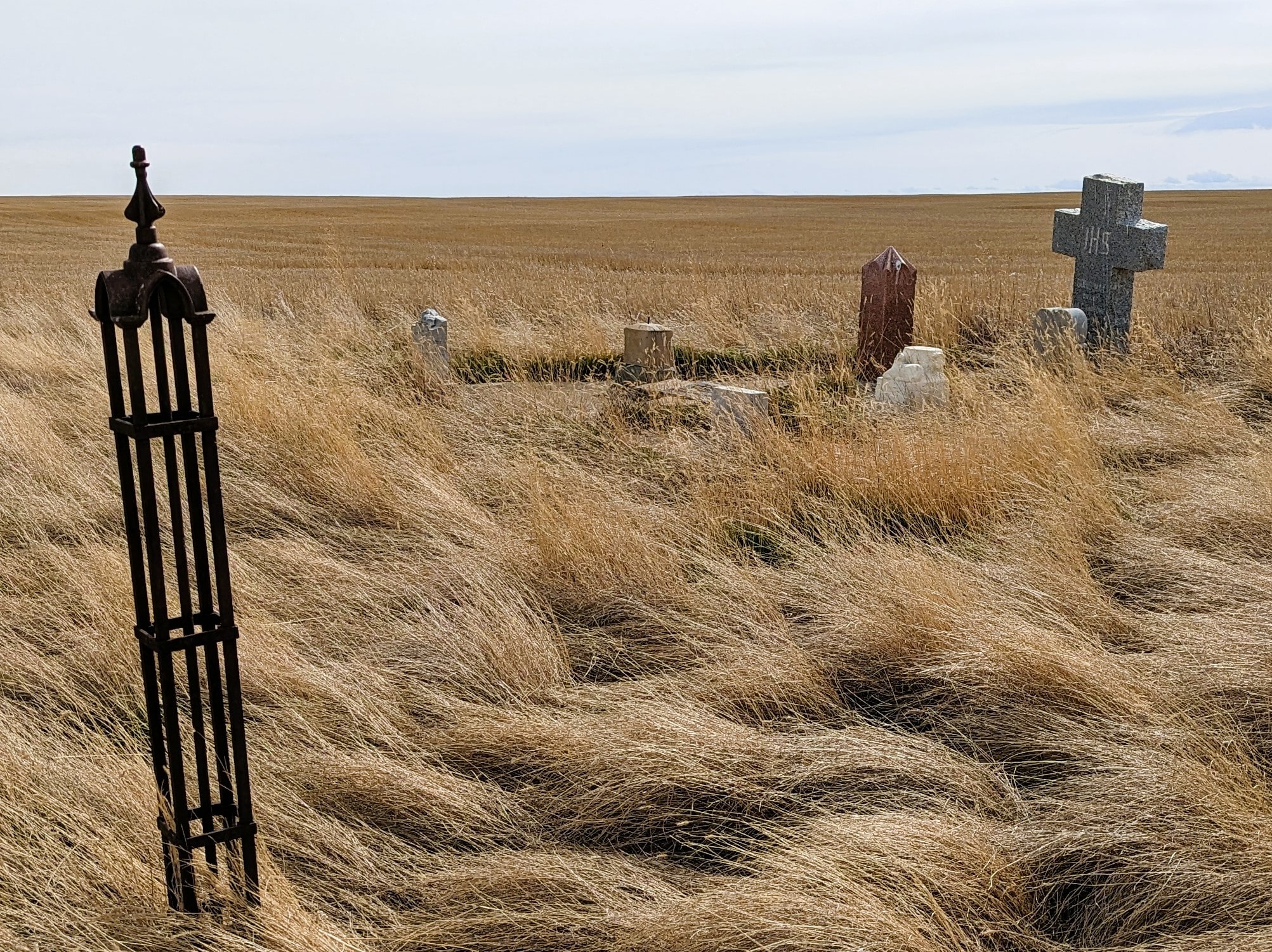
The nearby Cleverville Cemetery is home to just 23 residents.
Address
Rge Rd 240 south of Twp Rd 154
Nearest Populated Centre: Champion,
Province: Alberta
Map Location
Latitude, Longitude
50.27358, -113.16631
Map Location
| Surname | Given Name | Born | Died | Age | Photos | Cemetery | R Code |
|---|---|---|---|---|---|---|---|
The 25 most common surnames found in this cemetery.

The 25 most common given names found in this cemetery.