Deaths

Longevity

Address

46130 Range Road 274
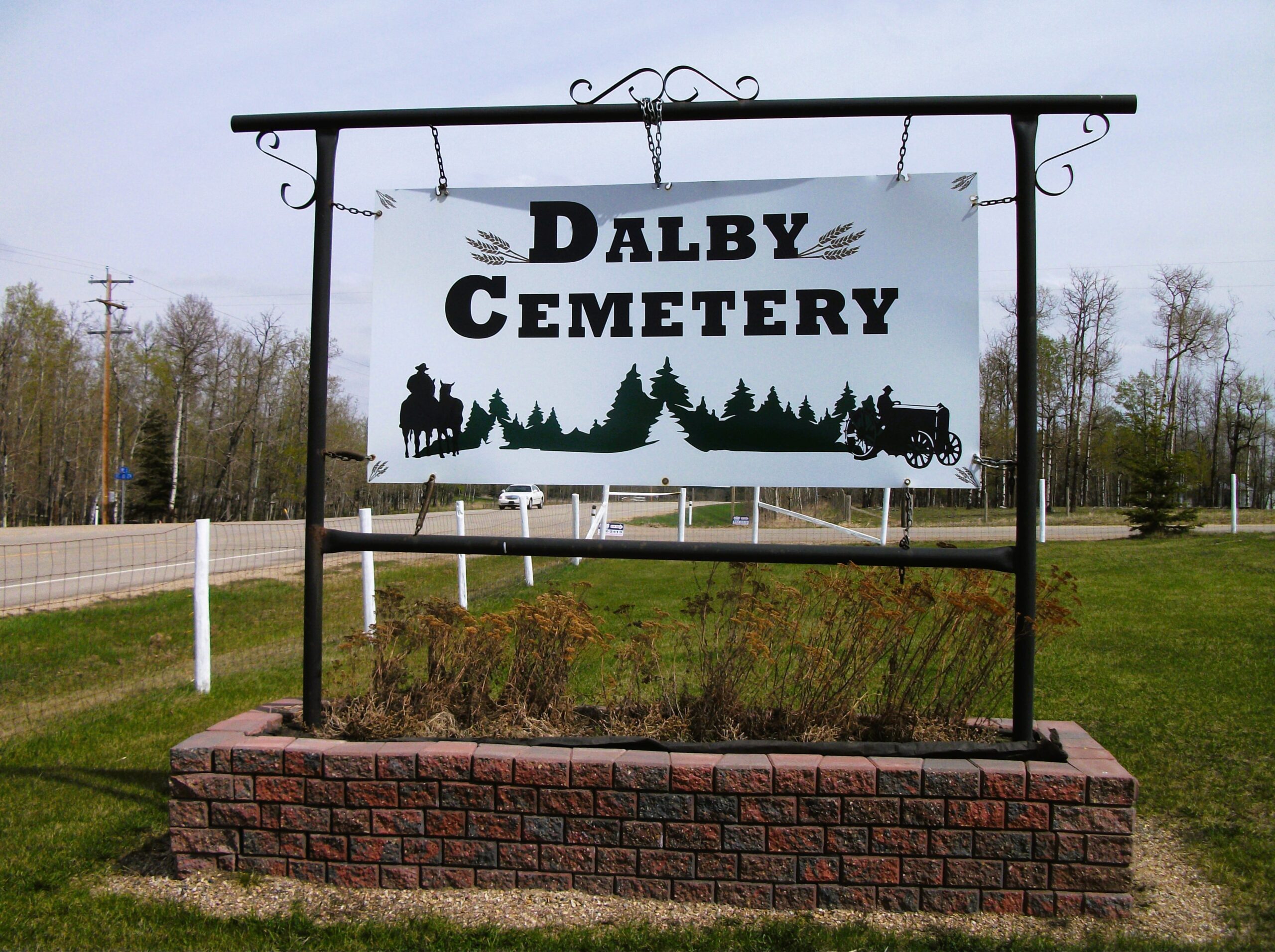
Nearest Populated Centre: Falun,
Province: Alberta

Map Location

Latitude, Longitude
52.95946, -113.87431

Map Location

Search for:
RESET
Surname Given Name Born Died Age Photo(s) Cemetery Obituary Narrative R Code

The 25 most common surnames found in this cemetery.

loader

The 25 most common given names found in this cemetery.

loader

Other Cemeteries

St. Mary's Cemetery (Bluffton, Ponoka County)

Range Road 30 S of Highway 607 , Bluffton , Alberta

Hartleyville Cemetery (Cardston County)

Township Road 52 W of Range Road 275 , Hartleyville , Alberta

St. Joseph's Cemetery (Three Hills, Kneehill County)

Secondary Highway 583 just west of Three Hills , Three Hills , Alberta

Sutherland Cemetery (Newell County)

Range Road 141 and Township Road 191 , Brooks , Alberta

Sacred Heart Cemetery (Bow Island, Forty Mile County)

Township Road 90 and Range Road 111 , Bow Island , Alberta

Alston Cemetery (Vulcan County)

Hwy 527 & Twp Rd 142; SW of Champion , SW of Champion , Alberta

St. Joseph's Cemetery (Schuler, Cypress County)

Twp Rd 162 and Rge Rd 13 , Schuler , Alberta

Westerdale Cemetery (Mountain View County)

32180 Hwy 766 , Westerdale , Alberta

Trinity Mennonite Church Cemetery (Foothills County)

434 Ave E & 144 St E , Aldersyde , Alberta

Discover Alberta Ancestors