Deaths

Longevity

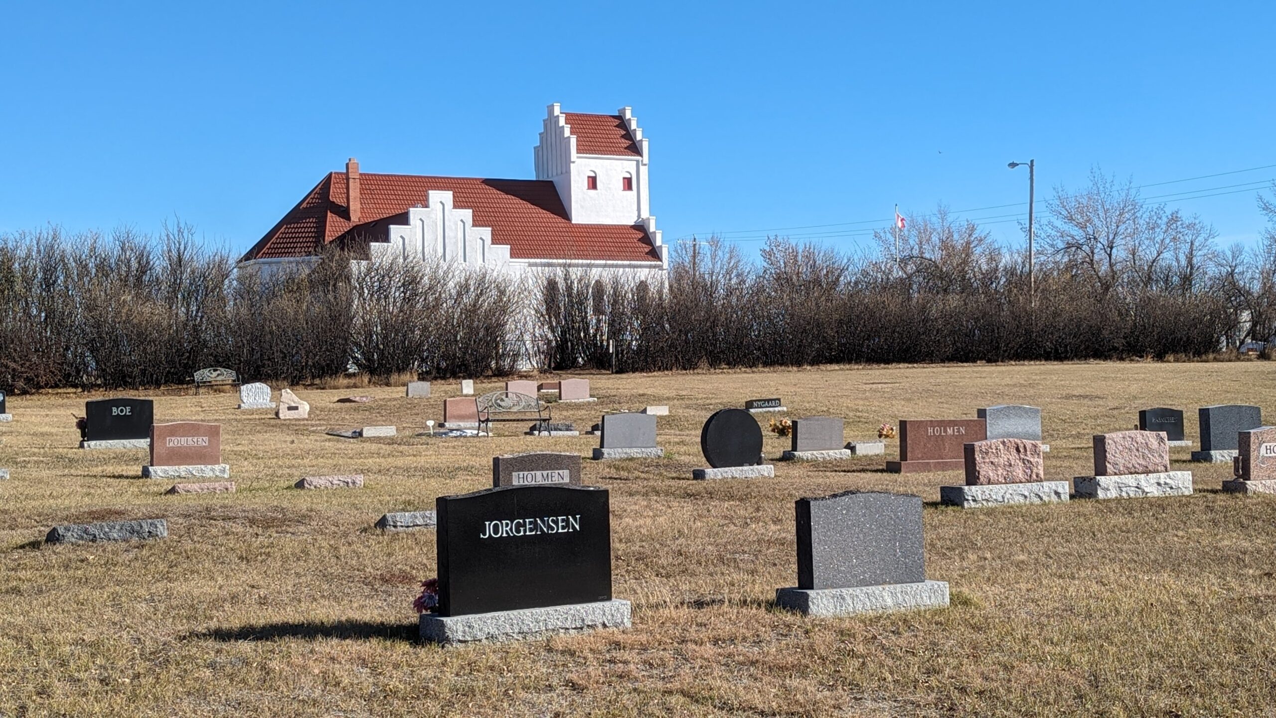
Address

194002 Highway 69
Nearest Populated Centre: Dalum,
Province: Alberta

Map Location

Latitude, Longitude
51.30035, -112.63204

Map Location

Search for:
RESET
Surname Given Name Born Died Age Photo(s) Cemetery Obituary Narrative R Code

The 25 most common surnames found in this cemetery.

loader

The 25 most common given names found in this cemetery.

loader

Other Cemeteries

St. Stephen's Cemetery (Cardston County)

Range Road 262 N of Township Road 20A , Aetna , Alberta

St. Andrew's Cemetery (Gladys, Foothills County)

Highway 547 & 192 St , Gladys , Alberta

Highfield Christian Reformed Cemetery (Forty Mile County)

Highway 879, Township Road 80, Range Road 121 , Burdett , Alberta

Foothills Cemetery (Foothills County)

176044 402 Ave W , Diamond Valley , Alberta

Old Monarch Cemetery (Lethbridge County)

Range Rd 235 South of Hwy 3A , Monarch , Alberta

Graham Cemetery (Mountain View County)

NE corner of Range Rd 52 & Township Rd 302 , NW of Cremona , Alberta

Okotoks Cemetery (Foothills County)

30 Westland Street , Okotoks , Alberta

Manyberries Cemetery (Forty Mile County)

Highway 61 (Red Coat Trail) and Range Road 53b , Manyberries , Alberta

Bottrel Cemetery (Rocky View County)

Range Rd 43 & Township Rd 283 , Bottrel , Alberta

Vockeroth Cemetery (Cypress County)

Township Road 120 and Range Road 30 , Irvine , Alberta

Discover Alberta Ancestors