Enchant began as a Canadian Pacific Railway (CPR) townsite in 1914. The town’s current name is certainly a more optimistic one than the original name of Lost Lake. The origin of the name Enchant is unknown, but an interesting theory appears in the local history book Drybelt Pioneers.The next locality on this CPR branch line is Retlaw – “Walter” spelled backwards – and said to be named for Walter R. Baker, the CPR General Manager’s assistant. Enchant, according to this theory, forms part of an acrostic that also spells Walter: Winfield, Armada, Lomond, Travers, Enchant, and Retlaw.

Deaths

Longevity

Address

142044 Range Road 185
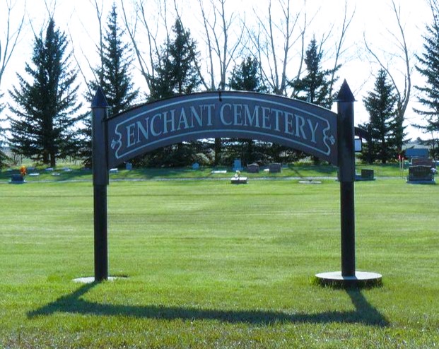
Nearest Populated Centre: Enchant,
Province: Alberta

Map Location

Latitude, Longitude
50.1728, -112.43902

Map Location

Search for:
RESET
Surname Given Name Born Died Age Photo(s) Cemetery Obituary Narrative R Code

The 25 most common surnames found in this cemetery.

loader

The 25 most common given names found in this cemetery.

loader

Other Cemeteries

Bloomsbury Pentecostal Cemetery (Barrhead County)

Township Road 604 and Range Road 35 , Bloomsbury , Alberta

O Perfect Peace Cemetery (Vulcan County)

Range Road 212 between Township Roads 190 and 192 , Milo , Alberta

Hainstock Cemetery (Mountain View County)

Highway 27; 5 km west of Olds , Olds , Alberta

Bethel Carbon Cemetery (Kneehill County)

Twp Rd 284 & Twp Rd 836 , Carbon , Alberta

Beiseker Level Land Seventh-day Adventist Cemetery (Rocky View County)

Range Rd 242, south of Highway #9 , Beiseker , Alberta

Frankburg Cemetery (Foothills County)

Range Rd 273, S of Hwy 23 , Frankburg (ghost town south of Blackie) , Alberta

Hill Spring Cemetery (Cardston County)

Township Rd 43A , Hill Spring , Alberta

Gem Cemetery (Newell County)

Township Road 224 E of Highway 862 , Gem , Alberta

Glen Banner Lutheran Cemetery (Forty Mile County)

Township Road 72 and Range Road 64 , Orion , Alberta

Christ Lutheran Cemetery (Red Deer County)

Township Road 370 and Range Road 32 , Spruce View , Alberta

Discover Alberta Ancestors