Deaths

Longevity

Address

Highway 795 and Range Road 251
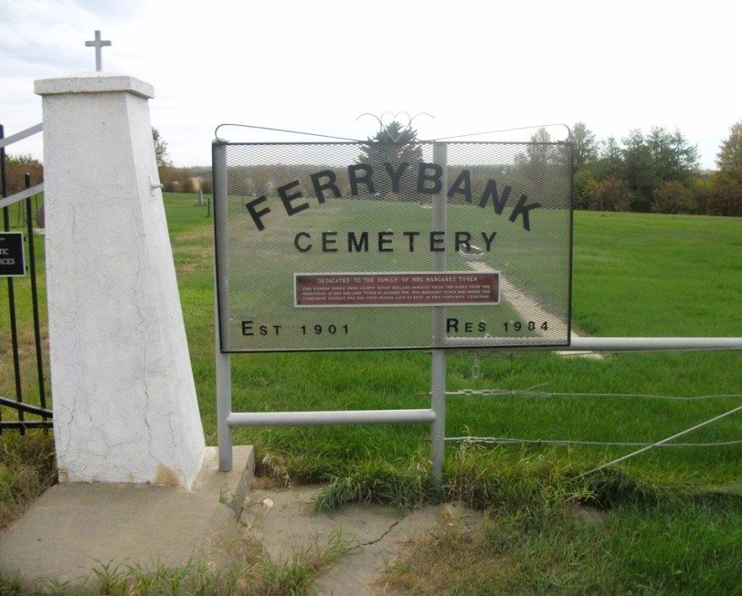
Nearest Populated Centre: Ponoka,
Province: Alberta

Map Location

Latitude, Longitude
52.7557, -113.80047

Map Location

Search for:
RESET
Surname Given Name Born Died Age Photo(s) Cemetery Obituary Narrative R Code

The 25 most common surnames found in this cemetery.

loader

The 25 most common given names found in this cemetery.

loader

Other Cemeteries

Fertile Plains Cemetery (Forty Mile County)

Highway 885, Township Road 85, Range Road 102 , Maleb, Bow Island area , Alberta

Scotfield Cemetery (Special Area No. 2)

1st St East , Scotfield , Alberta

Glenwood Cemetery (Cardston County)

Highway 810 N of Range Road 52 , Highway 810 N of Range Road 52 , Alberta

Standard Cemetery (Wheatland County)

Highway 840 & Cemetery Road , Standard , Alberta

Christ Church Anglican Cemetery (Kneehill County)

315079 Rge Rd 225 , Three Hills , Alberta

Ouelletteville Cemetery (Wheatland County)

Twp Rd 230 just west of Rge Rd 222 , Cluny , Alberta

Swalwell Cemetery (Kneehill County)

295037 Rge Rd 243 , Swalwell , Alberta

Lone Butte Cemetery (Special Area No. 2)

Highway 570 and Range Road 151 , Dorothy , Alberta

Graham Cemetery (Mountain View County)

NE corner of Range Rd 52 & Township Rd 302 , NW of Cremona , Alberta

St. Mary's Pioneer Cemetery (Calgary)

3157 Erlton St SW , Calgary , Alberta

Discover Alberta Ancestors