Courtesy of Medicine Hat and District Genealogical Society (MHDGS)

Deaths

Longevity

Address

Twp Rd 100 & Range Rd 12 (Graburn Road)
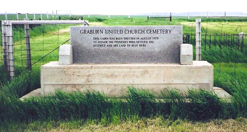
Nearest Populated Centre: Walsh,
Province: Alberta

Map Location

Latitude, Longitude
49.78545, -110.04853

Map Location

Search for:
RESET
Surname Given Name Born Died Age Photo(s) Cemetery Obituary Narrative R Code

The 25 most common surnames found in this cemetery.

loader

The 25 most common given names found in this cemetery.

loader

Other Cemeteries

O Perfect Peace Cemetery (Vulcan County)

Range Road 212 between Township Roads 190 and 192 , Milo , Alberta

Sutherland Cemetery (Newell County)

Range Road 141 and Township Road 191 , Brooks , Alberta

St. Paul's Lutheran Cemetery (Special Area No. 2)

Range Road 162 and Township Road 302 , Hanna , Alberta

St. John's Lutheran Cemetery (Granum, MD of Willow Creek)

Township Road 102 near Granum , Granum , Alberta

Alston Cemetery (Vulcan County)

Hwy 527 & Twp Rd 142; SW of Champion , SW of Champion , Alberta

Lebanon-Thelma Cemetery (Cypress County)

Twp Rd 74 & Range Rd 31 , Irvine , Alberta

Waterton Cemetery (Waterton Lakes National Park)

Highway 5, Waterton Park , Waterton , Alberta

Bergthal Cemetery (Mountain View County)

31-30539 Rge Rd 285 , NE of Carstairs , Alberta

Bunker Hill Cemetery (Wetaskiwin County)

463033 Range Road 33 S of Township Road 464 , Winfield , Alberta

Beiseker Community Cemetery (Rocky View County)

Range Rd 262, south of Township Rd 282 , Beiseker , Alberta

Discover Alberta Ancestors