Deaths

Longevity

Address

Rge Rd 254 south of Hwy 519
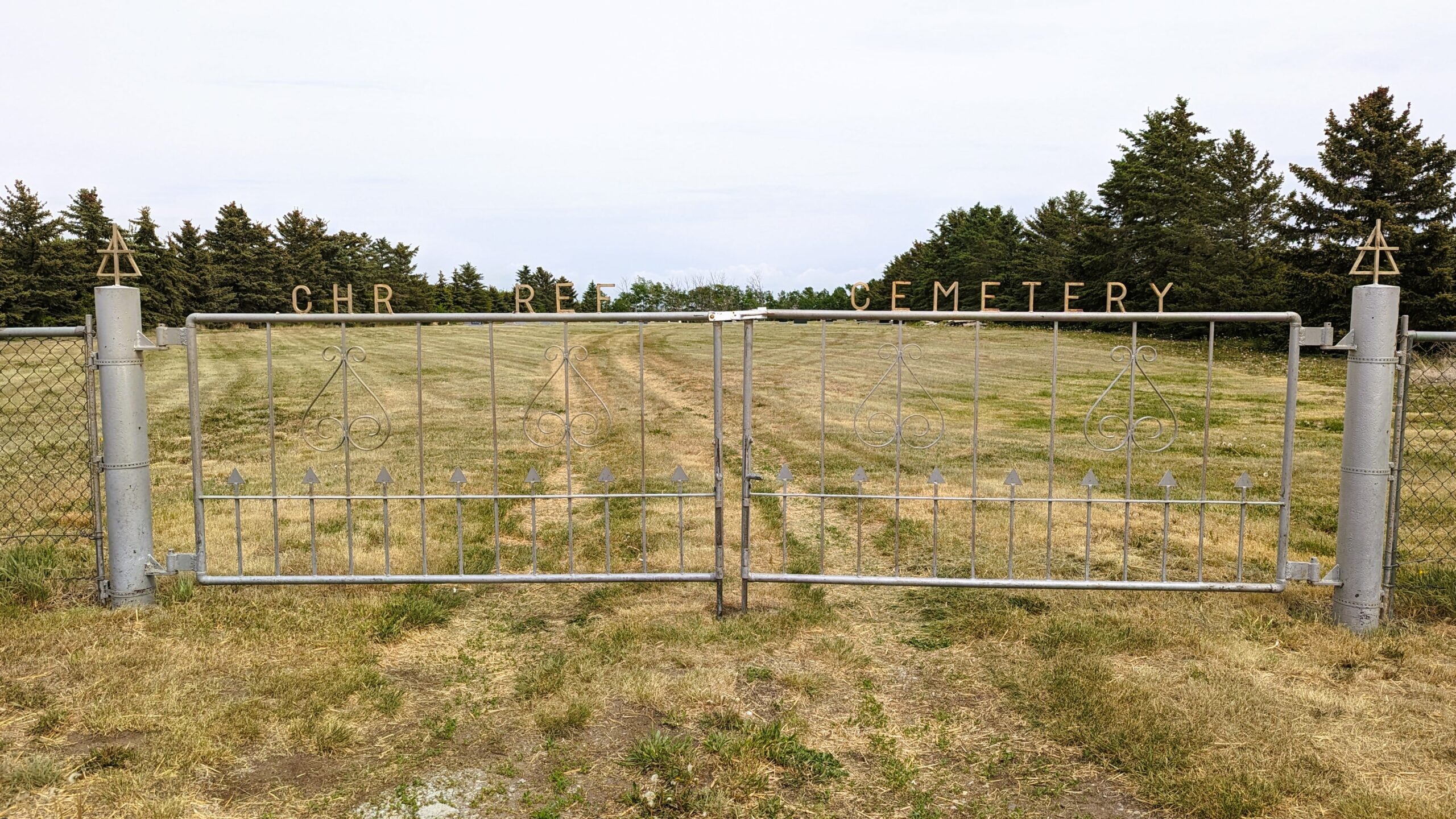
Nearest Populated Centre: Granum,
Province: Alberta

Map Location

Latitude, Longitude
49.85867, -113.34195

Map Location

Search for:
RESET
Surname Given Name Born Died Age Photo(s) Cemetery Obituary Narrative R Code

The 25 most common surnames found in this cemetery.

loader

The 25 most common given names found in this cemetery.

loader

Other Cemeteries

Hilda Bethlehem Lutheran Cemetery (Cypress County)

Twp Rd 182 & Range Rd 20 , Hilda , Alberta

Prospy Cemetery (Forty Mile County)

Highway 885, Township Road 81 and Range Road 92 , Etzikom , Alberta

St. Peter's Lutheran Cemetery (Schuler, Cypress County)

Rge Rd 23 between Twp Rd 154 and Hwy 528 , Schuler , Alberta

Sharon Cemetery (Vulcan County)

26531-26501 Twp Rd 174, SW of Brant; NE corner of Rge Rd 270 & Twp Rd 174 , SW of Brant , Alberta

Namaka Mennonite Cemetery (Wheatland County)

Namaka, Strathmore Census Division , Carseland , Alberta

Kin Coulee Cemetery (Medicine Hat)

Old Cemetery Rd SE , Medicine Hat , Alberta

Burnsland Cemetery (Calgary)

3020 Spiller Rd SE , Calgary , Alberta

Barons Cemetery (Lethbridge County)

Twp Rd 23 south of Rge Rd 520 , Barons , Alberta

Manyberries Cemetery (Forty Mile County)

Highway 61 (Red Coat Trail) and Range Road 53b , Manyberries , Alberta

Blairmore Old Union Cemetery (Crowsnest Pass)

25th Ave , Blairmore , Alberta

Discover Alberta Ancestors