Courtesy of Medicine Hat and District Genealogical Society (MHDGS)

Deaths

Longevity

Address

Highway 879, Township Road 80, Range Road 121
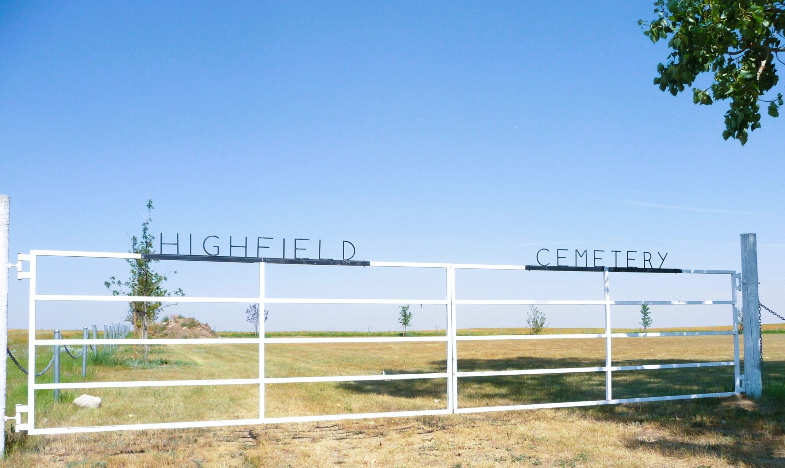
Nearest Populated Centre: Burdett,
Province: Alberta

Map Location

Latitude, Longitude
49.6115, -111.52843

Map Location

Search for:
RESET
Surname Given Name Born Died Age Photos Cemetery R Code

The 25 most common surnames found in this cemetery.

loader

The 25 most common given names found in this cemetery.

loader

Other Cemeteries

Gem Cemetery (Newell County)

Township Road 224 E of Highway 862 , Gem , Alberta

Sunnynook Cemetery (Special Area No. 2)

Township Road 272 E of Range Road 124A , Hanna , Alberta

Kootenay Brown Cemetery (Waterton Lakes National Park)

Highway 5, Waterton Park , Waterton , Alberta

New Dayton Cemetery (Warner County)

Range Road 183 N of Township Road 55 , New Dayton , Alberta

Graburn United Church Cemetery (Cypress County)

Twp Rd 100 & Range Rd 12 (Graburn Road) , Walsh , Alberta

St. Mary's Cemetery (Bluffton, Ponoka County)

Range Road 30 S of Highway 607 , Bluffton , Alberta

Mountain View Cemetery (Banff National Park)

1029 Banff Avenue , Banff , Alberta

Granum Christian Reformed Cemetery (MD of Willow Creek)

Rge Rd 254 south of Hwy 519 , Granum , Alberta

Green Valley Cemetery (Clearwater County)

63040 Highway 598 , Codner , Alberta

Discover Alberta Ancestors