Deaths

Longevity

Address

Township Road 242 E of Highway 36
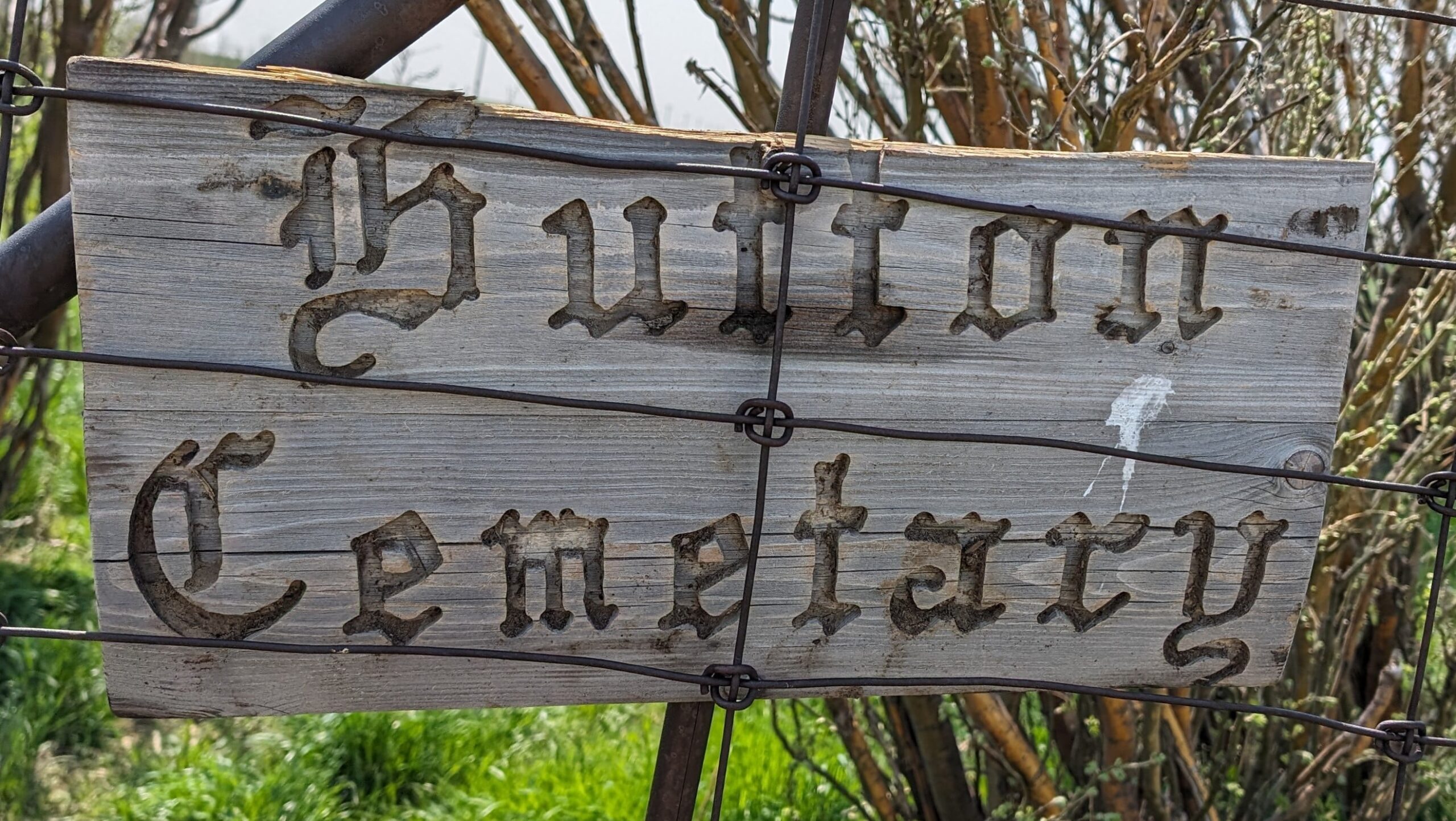
Nearest Populated Centre: Hutton,
Province: Alberta

Map Location

Latitude, Longitude
51.03751, -111.84321

Map Location

Search for:
RESET
Surname Given Name Born Died Age Photo(s) Cemetery Obituary Narrative R Code

The 25 most common surnames found in this cemetery.

loader

The 25 most common given names found in this cemetery.

loader

Other Cemeteries

St. Joseph's Cemetery (Foremost, Forty Mile County)

Township Road 72 and Range road 113 , Foremost , Alberta

Fishburn United Church Cemetery (MD of Pincher Creek)

28232 Twp Rd 52 , Fishburn , Alberta

Benalto Cemetery (Red Deer County)

Range Road 25 S of Township Road 385 , Benalto , Alberta

Retlaw Cemetery (MD of Taber)

130017 Rge Rd 173 , Retlaw , Alberta

Beiseker Level Land Seventh-day Adventist Cemetery (Rocky View County)

Range Rd 242, south of Highway #9 , Beiseker , Alberta

Carstairs Cemetery (Mountain View County)

Gough Road , Carstairs , Alberta

Lone Butte Cemetery (Special Area No. 2)

Highway 570 and Range Road 151 , Dorothy , Alberta

Sutherland Cemetery (Newell County)

Range Road 141 and Township Road 191 , Brooks , Alberta

Church of God Cemetery (Walsh, Cypress County)

Twp Rd 100 & Range Rd 12 (Graburn Road) , Walsh , Alberta

Irricana Town Cemetery (Rocky View County)

Cemetery Rd & Hendricks Dr , Irricana , Alberta

Discover Alberta Ancestors