Deaths

Longevity

Address

Township Road 242 E of Highway 36
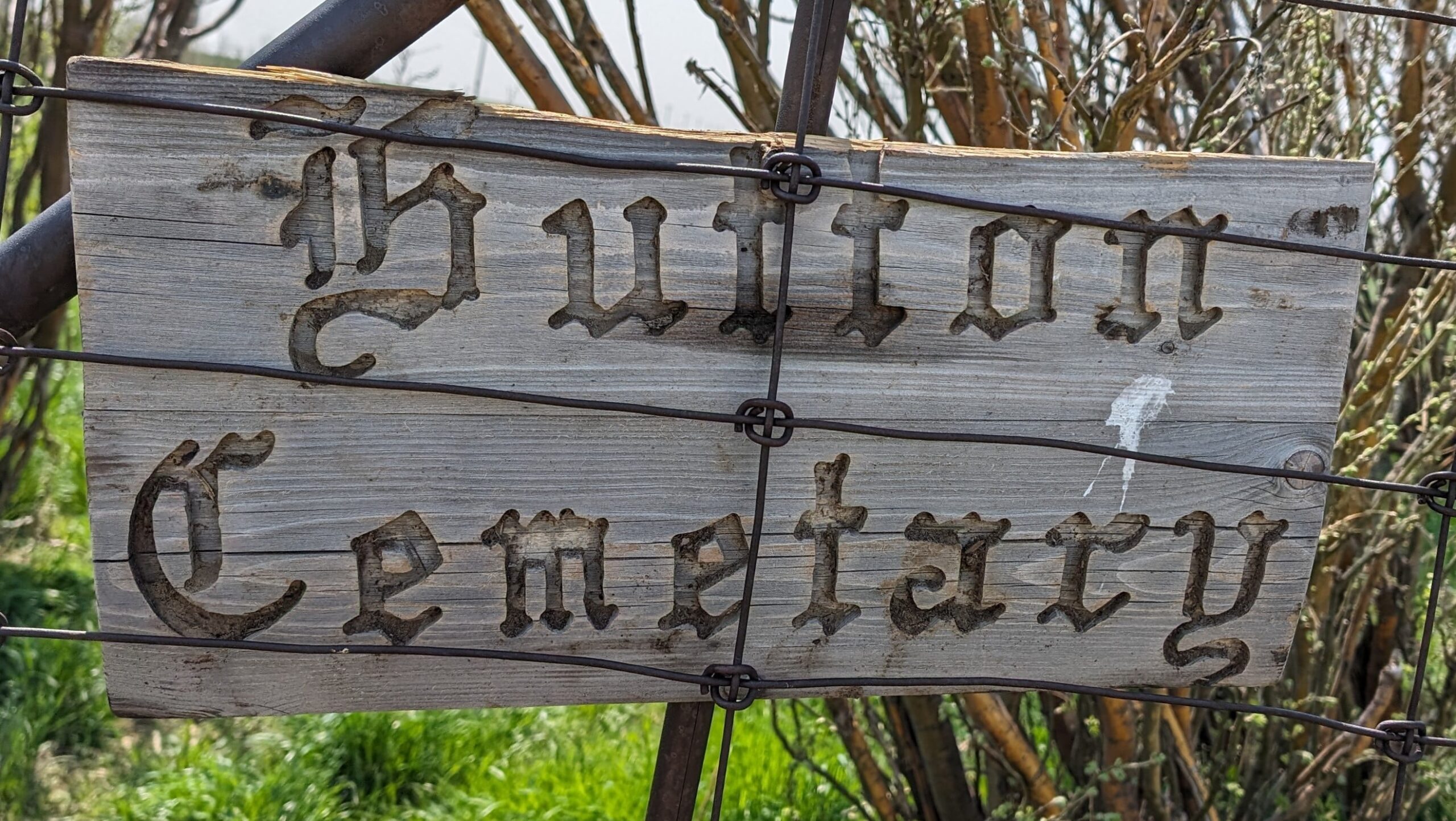
Nearest Populated Centre: Hutton,
Province: Alberta

Map Location

Latitude, Longitude
51.03751, -111.84321

Map Location

Search for:
RESET
Surname Given Name Born Died Age Photo(s) Cemetery Obituary Narrative R Code

The 25 most common surnames found in this cemetery.

loader

The 25 most common given names found in this cemetery.

loader

Other Cemeteries

Salem Evangelical Cemetery Site 2 (Newburg, Cypress County)

Township Road 102 & Range Road 23 , Newburg , Alberta

Crossfield Cemetery (Rocky View County)

10063 Township Rd 285 , Crossfield , Alberta

Gladys Union Cemetery (Foothills County)

370004 240 St E , Gladys , Alberta

Indian Battle Park Cemetery (City of Lethbridge)

200 Indian Battle Road South (Riverbottom) , Lethbridge , Alberta

St. Barnabas Anglican Memorial Garden (Calgary)

1407 - 7 Ave NW , Calgary , Alberta

Kootenay Brown Cemetery (Waterton Lakes National Park)

Highway 5, Waterton Park , Waterton , Alberta

Hilda Seventh Day Adventist Cemetery (Cypress County)

Twp Rd 182 & Rge Rd 13 , Hilda , Alberta

Manyberries Cemetery (Forty Mile County)

Highway 61 (Red Coat Trail) and Range Road 53b , Manyberries , Alberta

Old Monarch Cemetery (Lethbridge County)

Range Rd 235 South of Hwy 3A , Monarch , Alberta

Discover Alberta Ancestors