Deaths

Longevity

Address

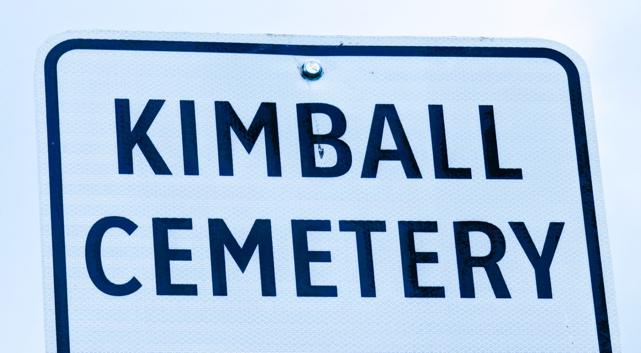
Township Road 21 / Range Road 250(B) N of Kimball
Nearest Populated Centre: Kimball,
Province: Alberta

Map Location

Latitude, Longitude
49.0949, -113.2077

Map Location

Search for:
RESET
Surname Given Name Born Died Age Photos Cemetery R Code

The 25 most common surnames found in this cemetery.

loader

The 25 most common given names found in this cemetery.

loader

Other Cemeteries

Schmidt Family Cemetery (Cypress County)

Twp Rd 150 and Rge Rd 14a , Schuler , Alberta

Carmangay Cemetery (Vulcan County)

Township Road 235 and Range Road 240 , Carmangay , Alberta

Canmore Old Cemetery (MD of Bighorn)

1250 Palliser Trail , Canmore , Alberta

Comrey Cemetery (Forty Mile County)

Range Rd 62 north of Twp Road 22 , Manyberries , Alberta

St. Rita's Cemetery (Rockyford, Wheatland County)

412 Serviceberry Trail , Rockyford , Alberta

Frankburg Cemetery (Foothills County)

Range Rd 273, S of Hwy 23 , Frankburg (ghost town south of Blackie) , Alberta

Ouelletteville Cemetery (Wheatland County)

Twp Rd 230 just west of Rge Rd 222 , Cluny , Alberta

St. Mary's Cemetery (Bluffton, Ponoka County)

Range Road 30 S of Highway 607 , Bluffton , Alberta

Rosemary Cemetery (Newell County)

Railway Avenue , Rosemary , Alberta

Stockburger Cemetery (Cypress County)

Township Road 190 and Range Road 20 , Hilda , Alberta

Discover Alberta Ancestors