Courtesy of Medicine Hat and District Genealogical Society (MHDGS)

Deaths

Longevity

Address

Twp Rd 74 & Range Rd 31
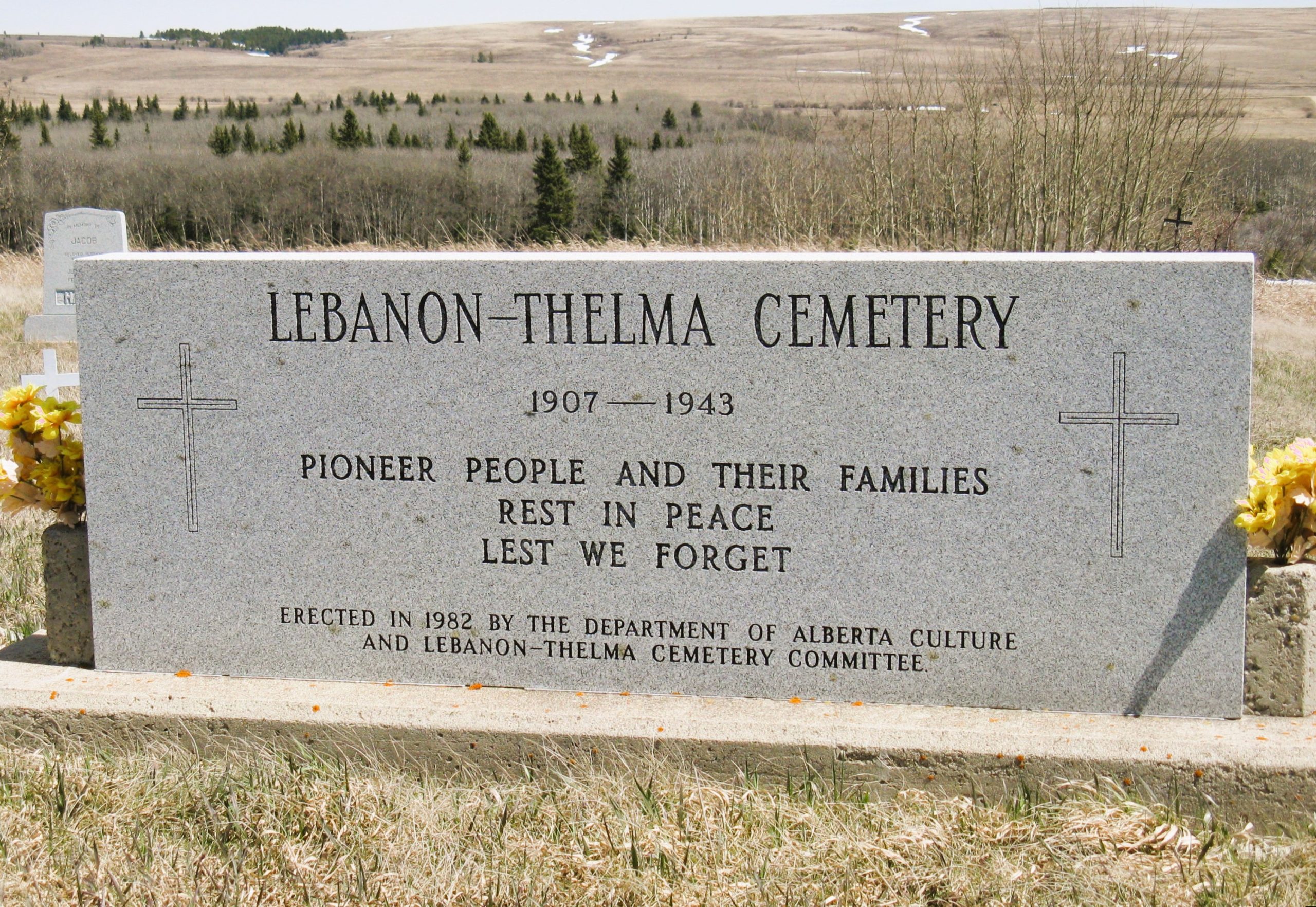
Nearest Populated Centre: Irvine,
Province: Alberta

Map Location

Latitude, Longitude
49.60307, -110.29783

Map Location

Search for:
RESET
Surname Given Name Born Died Age Photo(s) Cemetery Obituary Narrative R Code

The 25 most common surnames found in this cemetery.

loader

The 25 most common given names found in this cemetery.

loader

Other Cemeteries

Vockeroth Cemetery (Cypress County)

Township Road 120 and Range Road 30 , Irvine , Alberta

Comrey Cemetery (Forty Mile County)

Range Rd 62 north of Twp Road 22 , Manyberries , Alberta

Dalby Cemetery (Wetaskiwin County)

46130 Range Road 274 , Falun , Alberta

Meadow Vale Cemetery (Ponoka County)

Township Road 430 W of Range Road 50 , Rimbey , Alberta

Poynter Memorial Cemetery (Barrhead County)

Range Road 35 N of Township Road 592 , Barrhead , Alberta

St. Peter's Lutheran Cemetery (Claresholm, MD of Willow Creek)

Twp Rd 130 & Rge Rd 263 , near Claresholm , Alberta

Rosemary Catholic Cemetery (Newell County)

Old #1 Highway and East Gem Road , Rosemary , Alberta

Manyberries Cemetery (Forty Mile County)

Highway 61 (Red Coat Trail) and Range Road 53b , Manyberries , Alberta

Kootenay Brown Cemetery (Waterton Lakes National Park)

Highway 5, Waterton Park , Waterton , Alberta

Sacred Heart Cemetery (Faith, Forty Mile County)

Township Road 41 and Range Road 100 , Nemiskam , Alberta

Discover Alberta Ancestors