This is a unique Finnish cemetery is situated on land donated by Ole Baker and maintained by the Country of Forty Mile.

Driving directions – From Manyberries intersection with Highway 61, north on the Black and White Trail for three miles, one mile east on Twp. Rd. 62 (Elkwater Rd.), one mile north.

Courtesy of Medicine Hat and District Genealogical Society (MHDGS)

Deaths

Longevity

Address

Range Road 55 south of Township Road 62
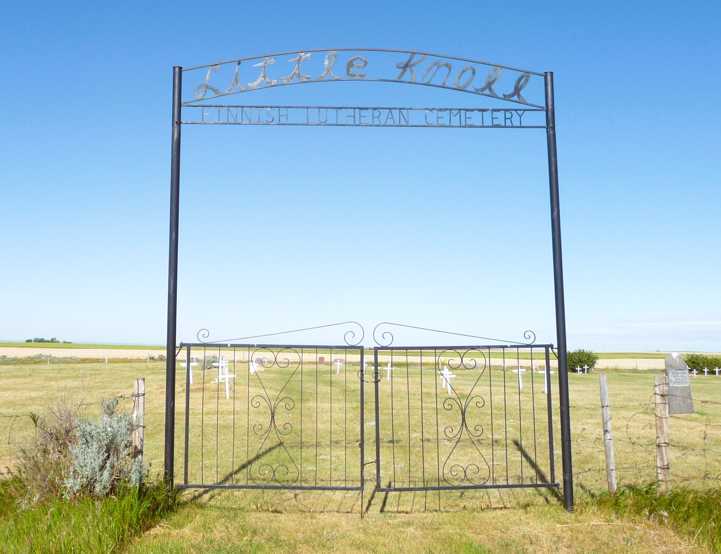
Nearest Populated Centre: Manyberries,
Province: Alberta

Map Location

Latitude, Longitude
49.44983, -110.65668

Map Location

Search for:
RESET
Surname Given Name Born Died Age Photo(s) Cemetery Obituary Narrative R Code

The 25 most common surnames found in this cemetery.

loader

The 25 most common given names found in this cemetery.

loader

Other Cemeteries

Kootenai Brown Cemetery (Waterton Lakes National Park)

Highway 5, Waterton Park , Waterton , Alberta

O Perfect Peace Cemetery (Vulcan County)

Range Road 212 between Township Roads 190 and 192 , Milo , Alberta

Graburn United Church Cemetery (Cypress County)

Twp Rd 100 & Range Rd 12 (Graburn Road) , Walsh , Alberta

Hilda Bethlehem Lutheran Cemetery (Cypress County)

Twp Rd 182 & Range Rd 20 , Hilda , Alberta

Norwegian Lutheran Cemetery (Cypress County)

Rge Rd 20 and Twp Rd 160 , Schuler , Alberta

Ebenezer Cemetery (Forty Mile County)

Township Road 84 and Range Road 71 , Seven Persons , Alberta

Beiseker Community Cemetery (Rocky View County)

Range Rd 262, south of Township Rd 282 , Beiseker , Alberta

Wenz Cemetery (Cypress County)

Township Road 204 and Range Road 13 , Sandy Point , Alberta

Christian Community of Universal Brotherhood Cemetery (Vulcan County)

Rge Rd 225 south of Twp Rd 205 , Arrowwood , Alberta

Hilda Baptist Cemetery (Cypress County)

Twp Rd 174 & Range Rd 12 , Hilda , Alberta

Discover Alberta Ancestors