Courtesy of Medicine Hat and District Genealogical Society (MHDGS)

Deaths

Longevity

Address

Eagle Butte Rd (Range Rd 51) and Twp Rd 100
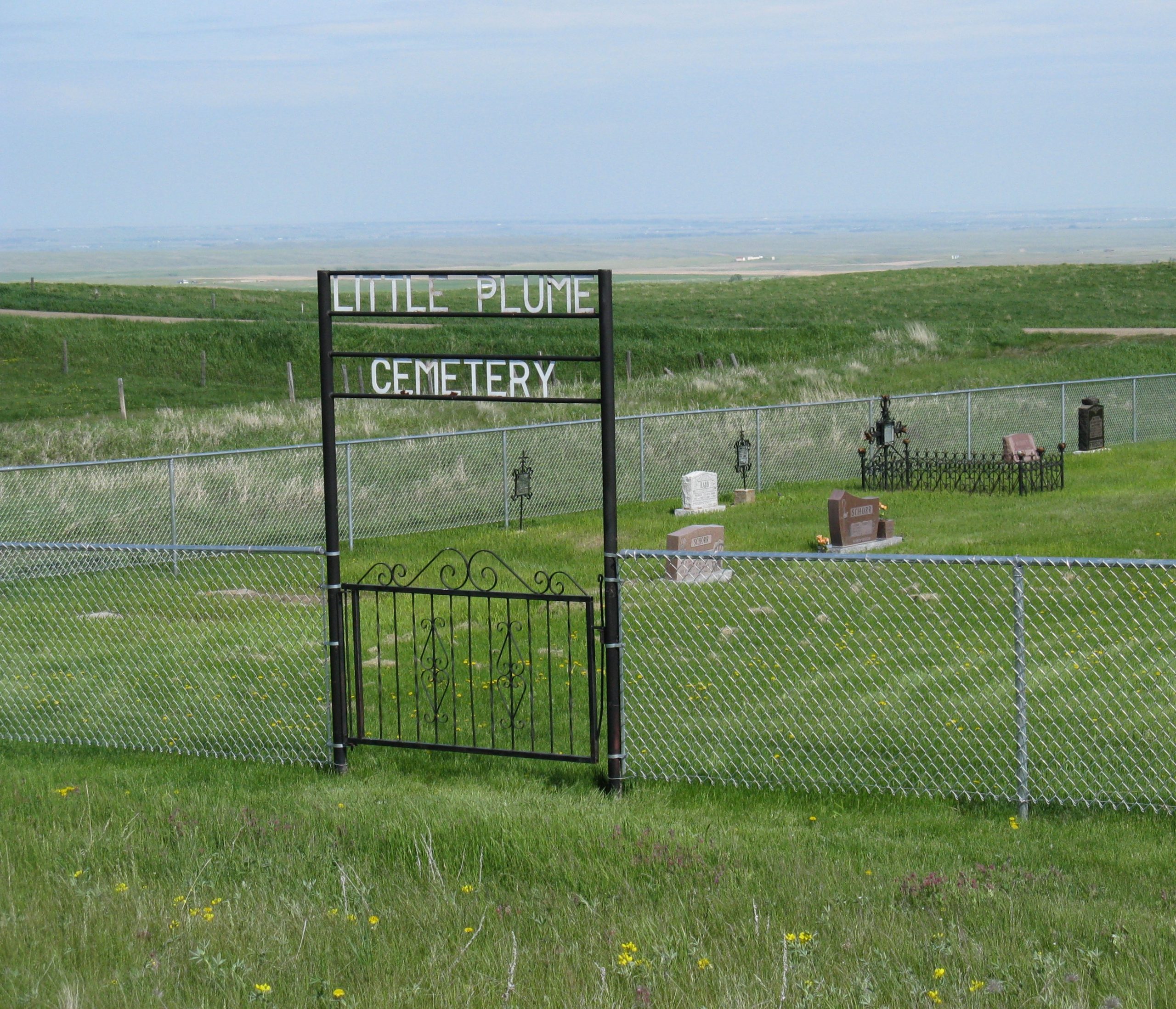
Nearest Populated Centre: South of Dunmore,
Province: Alberta

Map Location

Latitude, Longitude
49.78588, -110.56908

Map Location

Search for:
RESET
Surname Given Name Born Died Age Photo(s) Cemetery Obituary Narrative R Code

The 25 most common surnames found in this cemetery.

loader

The 25 most common given names found in this cemetery.

loader

Other Cemeteries

Etzikom Cemetery (Forty Mile County)

Township Road 64, Range Road 91, Highway 885 , Etzikom , Alberta

St. George’s Parish Cemetery (Irvine, Cypress County)

Township Road 119 & Range Road 30 , Irvine , Alberta

Blairmore Catholic Cemetery (Crowsnest Pass)

25th Ave , Blairmore , Alberta

Maerz Cemetery (Kneehill County)

Rge Rd 252 south of Hwy 802, west of Three Hills , Three Hills , Alberta

Highland Cemetery (Forty Mile County)

Township Road 120 and Range Road 84 , Whitla , Alberta

Bismark Lutheran Cemetery (Ponoka County)

Highway 792 N of Township Road 432 , Crestomere , Alberta

Torrington Zion Lutheran Cemetery (Kneehill County)

322043 Rge Rd 261 , Torrington , Alberta

Congregational Matthaus Cemetery (Cypress County)

Rge Rd 23 between Twp Rs 154 and 160 , Schuler , Alberta

Church of God Cemetery (Walsh, Cypress County)

Twp Rd 100 & Range Rd 12 (Graburn Road) , Walsh , Alberta

St. Peter's Lutheran Cemetery (Schuler, Cypress County)

Rge Rd 23 between Twp Rd 154 and Hwy 528 , Schuler , Alberta

Discover Alberta Ancestors