Courtesy of Medicine Hat and District Genealogical Society (MHDGS)
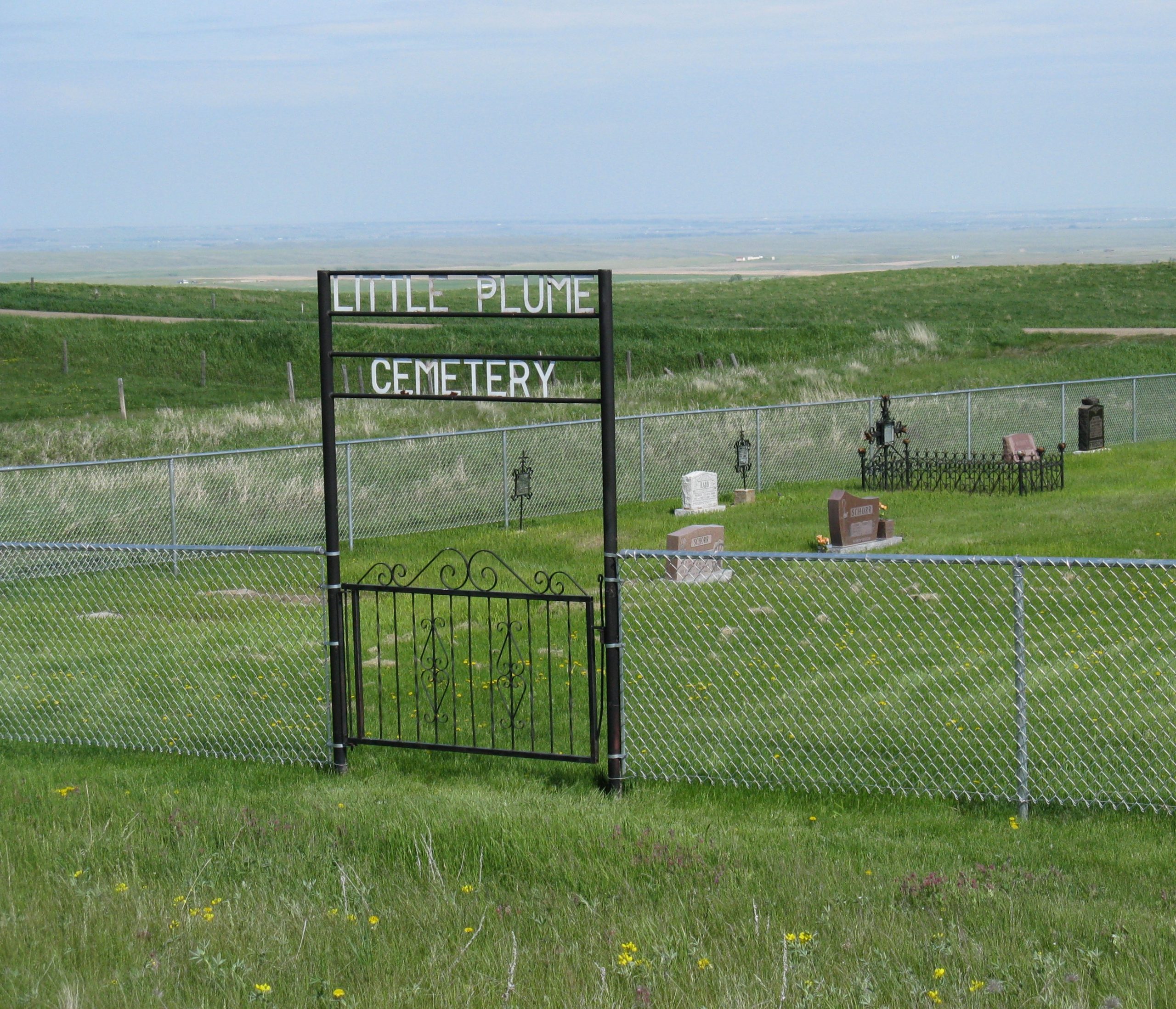
Deaths

Longevity

Address

Eagle Butte Rd (Range Rd 51) and Twp Rd 100
Nearest Populated Centre: South of Dunmore,
Province: Alberta

Map Location

Latitude, Longitude
49.78588, -110.56908

Map Location

Search for:
RESET
Surname Given Name Born Died Age Photo(s) Cemetery Obituary Narrative R Code

The 25 most common surnames found in this cemetery.

loader

The 25 most common given names found in this cemetery.

loader

Other Cemeteries

Champion Cemetery (Vulcan County)

1 St South , Champion , Alberta

Whitla Cemetery (Forty Mile County)

Range Road 84 north of Highway 3 , Whitla , Alberta

New Home Cemetery (Forty Mile County)

Township Road 63 and Range Road 50A , Manyberries , Alberta

Hutterian Brethren of Elkwater (Cypress County)

Township Road 100 and Range Road 22 , Elkwater , Alberta

Hill Spring Cemetery (Cardston County)

Township Rd 43A , Hill Spring , Alberta

Livingstone Cemetery (MD of Pincher Creek)

Range Rd 15, North of Cowley , Cowley , Alberta

Leavings Cemetery (MD of Willow Creek)

2nd Ave East , Granum , Alberta

Blairmore Old Union Cemetery (Crowsnest Pass)

25th Ave , Blairmore , Alberta

Manyberries Cemetery (Forty Mile County)

Highway 61 (Red Coat Trail) and Range Road 53b , Manyberries , Alberta

St. Joseph's Cemetery (Foremost, Forty Mile County)

Township Road 72 and Range road 113 , Foremost , Alberta

Discover Alberta Ancestors