Courtesy of Medicine Hat and District Genealogical Society (MHDGS)

Deaths

Longevity

Address

Eagle Butte Rd (Range Rd 51) and Twp Rd 100
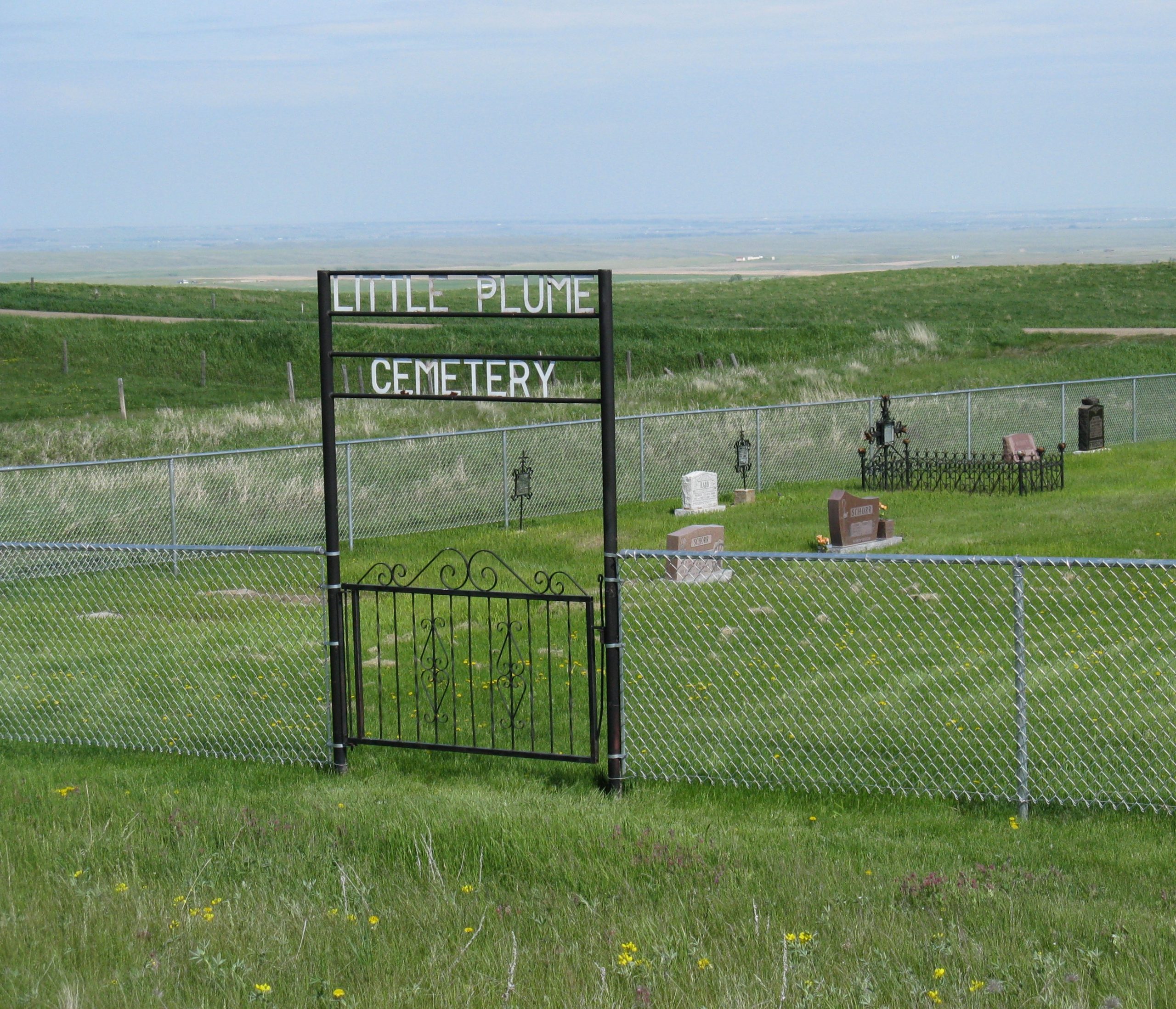
Nearest Populated Centre: South of Dunmore,
Province: Alberta

Map Location

Latitude, Longitude
49.78588, -110.56908

Map Location

Search for:
RESET
Surname Given Name Born Died Age Photos Cemetery R Code

The 25 most common surnames found in this cemetery.

loader

The 25 most common given names found in this cemetery.

loader

Other Cemeteries

Friedensfeld Baptist Cemetery (Cypress County)

Rge Rd 21 and Hwy 528 , Schuler , Alberta

Cleverville Cemetery (Vulcan County)

Rge Rd 240 south of Twp Rd 154 , Champion , Alberta

Alder Flats Cemetery (Wetaskiwin County)

Township Road 460 W of Range Road 74 , Buck Lake , Alberta

Glen Banner Lutheran Cemetery (Forty Mile County)

Township Road 72 and Range Road 64 , Orion , Alberta

Evergreen Cemetery (Hespero, Clearwater County)

Range Road 41 S of Township Road 380 , Hespero , Alberta

Russian Colony Cemetery (Ponoka County)

Highway 771 & Township Road 443 , Homeglen (or Home Glen) , Alberta

Chinese Cemetery (Calgary)

3205 Macleod Tr SW , Calgary , Alberta

Caldwell-Moir Cemetery (Cardston County)

Range Road 280 S of Township Road 25A/B , Mountain View , Alberta

Ferrybank Cemetery (Ponoka County)

Highway 795 and Range Road 251 , Ponoka , Alberta

Discover Alberta Ancestors