
Range Rd 61 south of Township Rd 344
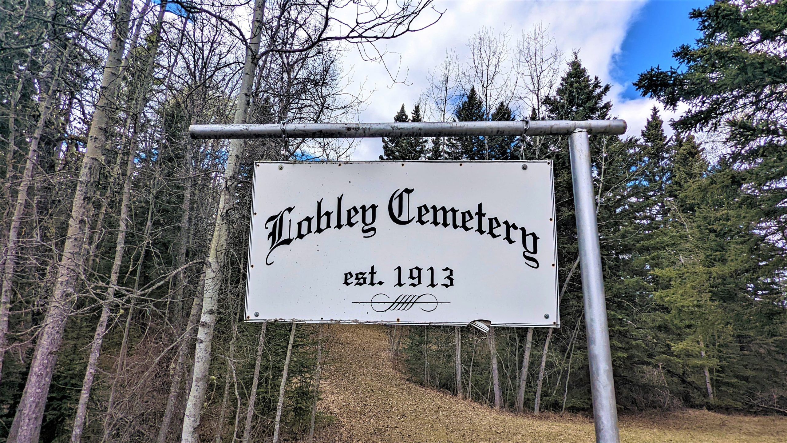
Lobley Cemetery is located north of Sundre, Alberta. Directions from the town of Sundre, traveling West on highway 27, turn right going North on highway 22 (also known as Cowboy Trail) for 13 km, turn Left (West) at Township Road 342 for almost 5 km, turn Right(North) onto Range Road 61 for about 1 km. You will come to a branch in the road, take the left branch and you will see the Lobley Cemetery sign on the left (west) side of the road. Lobley has 84 interments as of 2022.
Town of Sundre
Sundre is located on the banks of the Red Deer River in the foothills of the Rocky Mountains, 100 km Northwest of Calgary. It is a major service centre for the area’s industries which include Oil & Gas, Lumber & Forestry, farming, ranching, recreation & tourism. Sundre was named so in 1909 by the town’s first postmaster Nels T. Hagen, after his hometown in Norway. Sundre incorporated as a village in 1950 and incorporated as a town on January 1, 1956. Main industries in the area are petroleum production, forestry, agriculture, and ranching. Cultural venues within Sundre include the Sundre Municipal Library and the Sundre & District Pioneer Village Museum, which features “Chester Mjolsness’ World of Wildlife” exhibit of 150 taxidermy animals from across the world. In 2021, Sundre had a population of 2,672.
Address
Range Rd 61 south of Township Rd 344
Nearest Populated Centre: Sundre,
Province: Alberta
Map Location
Latitude, Longitude
51.92471, -114.734
Map Location
| Surname | Given Name | Born | Died | Age | Photos | Cemetery | R Code |
|---|---|---|---|---|---|---|---|
The 25 most common surnames found in this cemetery.

The 25 most common given names found in this cemetery.