Lomond is a village on Secondary Highway 845, approximately 70 kilometres northeast of Lethbridge. G.R. Plumb opened the area’s first post office in 1910, and it was known as Brunetta. With the arrival of the Canadian Pacific Railway in 1914, the post office shifted to the new townsite and was renamed Lomond, presumably for Loch Lomond in Scotland. Lomond became a village in 1916.

Deaths

Longevity

Address

Highway 531 & Range Road 202
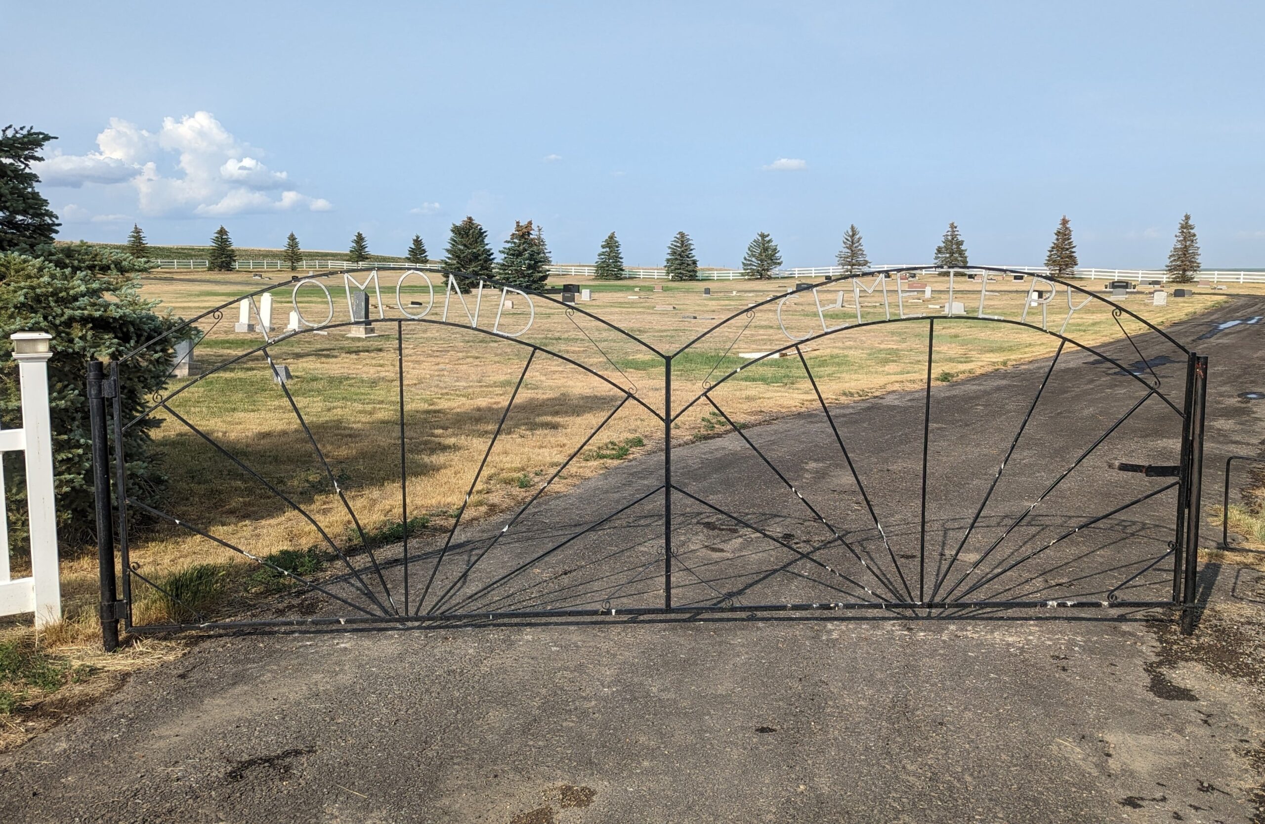
City: Lomond,
Province: Alberta

Map Location

Latitude, Longitude
50.36073, -112.66143

Map Location

Search for:
RESET
Surname Given Name Born Died Age Cemetery Location Obituary Narrative R Code

The 25 most common surnames found in this cemetery.

loader

The 25 most common given names found in this cemetery.

loader

Other Cemeteries

St. Andrew's Cemetery (Gladys, Foothills County)

Highway 547 & 192 St , Gladys , Alberta

St. Gabriel's Cemetery (Carbon, Kneehill County)

Range Rd 232 , Carbon , Alberta

Valley View Lutheran Cemetery (Forty Mile County)

Township Road 84 and Range Road 77 , Seven Persons , Alberta

New Home Cemetery (Forty Mile County)

Township Road 63 and Range Road 50A , Manyberries , Alberta

St. Paul's Anglican Cemetery (Calgary)

14620 Macleod Tr SE (access off 146 Ave SE & Bannister Rd) , Calgary , Alberta

Ebenezer Cemetery (Forty Mile County)

Township Road 84 and Range Road 71 , Seven Persons , Alberta

Eagle Valley Cemetery (Mountain View County)

4455 Twp Rd 340 , Sundre , Alberta

Irricana Town Cemetery (Rocky View County)

Cemetery Rd & Hendricks Dr , Irricana , Alberta

Zion Baptist Cemetery (Hesketh, Kneehill County)

Range Road 222A south of Highway 9 , Hesketh , Alberta

Discover Alberta Ancestors