Deaths

Longevity

Address

Highway 570 and Range Road 151
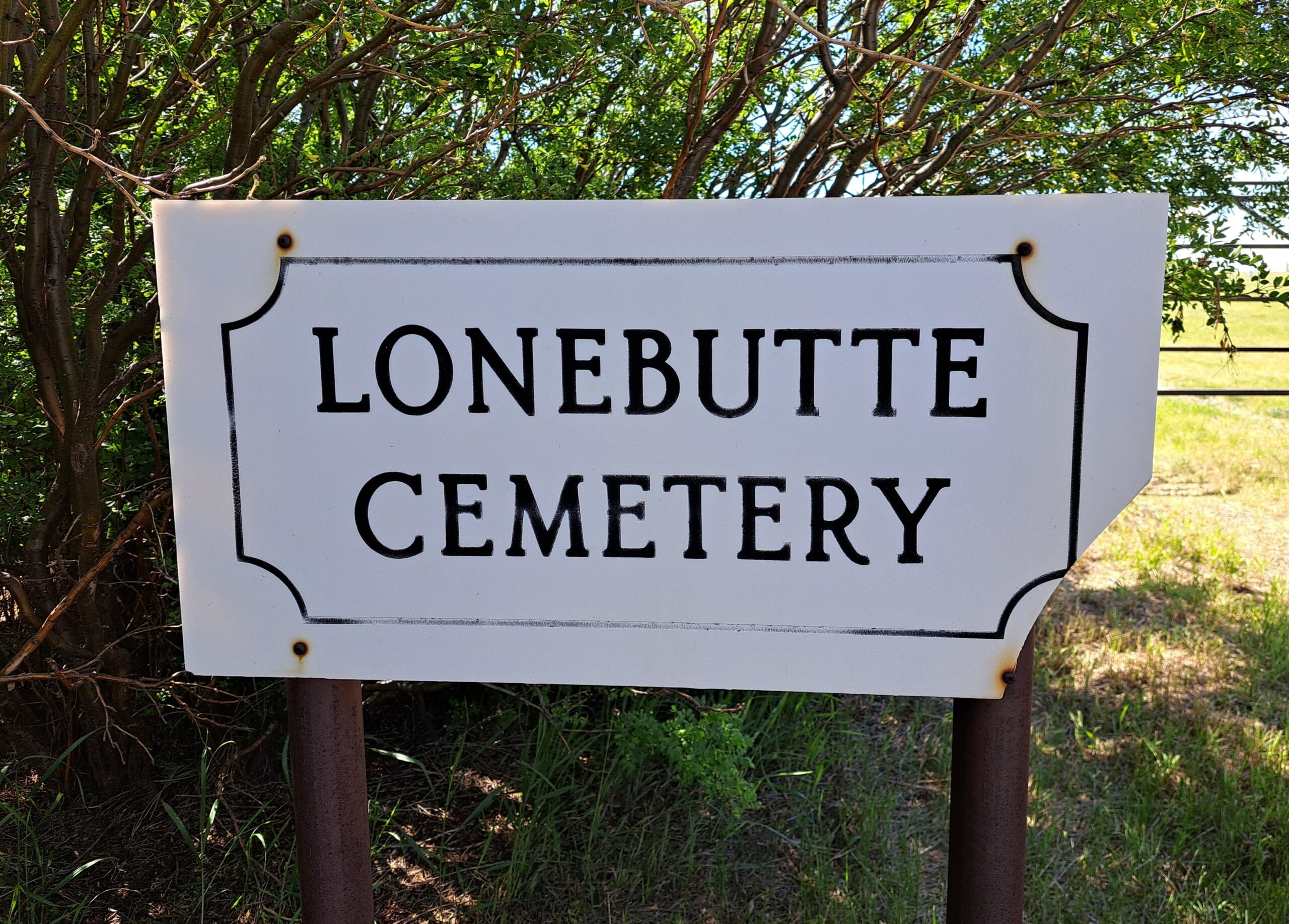
Nearest Populated Centre: Dorothy,
Province: Alberta

Map Location

Latitude, Longitude
51.26987, -111.99776

Map Location

Search for:
RESET
Surname Given Name Born Died Age Photo(s) Cemetery Obituary Narrative R Code

The 25 most common surnames found in this cemetery.

loader

The 25 most common given names found in this cemetery.

loader

Other Cemeteries

Assumption Cemetery (Forty Mile County)

Range Rd 130, Township Rd 92 , Grassy Lake , Alberta

Mayton Cemetery (Mountain View County)

27359 Twp Rd 333 , Mayton , Alberta

Schmidt Family Cemetery (Cypress County)

Twp Rd 150 and Rge Rd 14a , Schuler , Alberta

Christian Community of Universal Brotherhood Cemetery (Vulcan County)

Rge Rd 225 south of Twp Rd 205 , Arrowwood , Alberta

Ouelletteville Cemetery (Wheatland County)

Twp Rd 230 just west of Rge Rd 222 , Cluny , Alberta

Alston Cemetery (Vulcan County)

Hwy 527 & Twp Rd 142; SW of Champion , SW of Champion , Alberta

Caldwell - Belly River Cemetery (Cardston County)

Highway 800 S of Highway 505 , Mountain View , Alberta

Wenz Cemetery (Cypress County)

Township Road 204 and Range Road 13 , Sandy Point , Alberta

Lobley Cemetery (Mountain View County)

Range Rd 61 south of Township Rd 344 , Sundre , Alberta

St. Mary's Cemetery (Cochrane, Rocky View County)

423 Centre Ave N , Cochrane , Alberta

Discover Alberta Ancestors