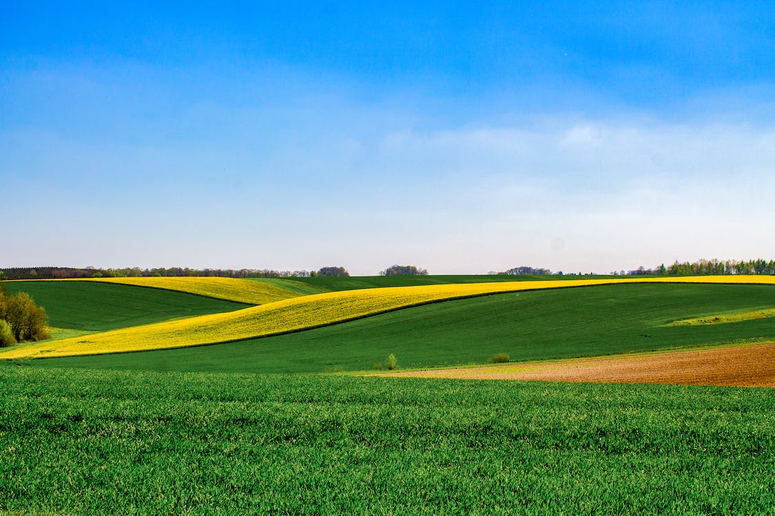
This lonely, forgotten, unkempt cemetery is located three and a half miles east, half a mile south and about 200 yards west of Schuler, Alberta, on the Alberta/Saskatchewan border. Someone has removed the fence and discarded the wire near the two remaining markers. The grass has not been cut in years. The graves are only 200 yards on the Alberta side.

Courtesy of Medicine Hat and District Genealogical Society (MHDGS)

Deaths

Longevity

Address

Twp Rd 161 & Rge Rd 10
Nearest Populated Centre: Schuler,
Province: Alberta

Map Location

Latitude, Longitude
50.33137, -110.00653

Map Location

Search for:
RESET
Surname Given Name Born Died Age Photos Cemetery R Code

The 25 most common surnames found in this cemetery.

loader

The 25 most common given names found in this cemetery.

loader

Other Cemeteries

Alderson Cemetery (Cypress County)

Range Rd 104, Township Rd 154 , Alderson , Alberta

Aetna Cemetery (Cardston County)

Range Road 251B SW of Town of Aetna , Aetna , Alberta

Jenner Cemetery (Special Area No. 2)

Highway 884 and Highway 555 , Jenner , Alberta

Cassils Pioneer Cemetery (Newell County)

Range Road 154 and Township Road 190 , Brooks , Alberta

Ferrybank Cemetery (Ponoka County)

Highway 795 and Range Road 251 , Ponoka , Alberta

Bloomsbury Pentecostal Cemetery (Barrhead County)

Township Road 604 and Range Road 35 , Bloomsbury , Alberta

Franciscan Friars Cemetery (Rocky View County)

41160 Retreat Road , Cochrane , Alberta

Belvedere Cemetery (Barrhead County)

3417 Hwy 654 , Barrhead , Alberta

Foremost Cemetery (Forty Mile County)

Township Road 61 and Range Road 115 , Foremost , Alberta

Hays Cemetery (MD of Taber)

EN212 Hays Road 30 N , Hays , Alberta

Discover Alberta Ancestors