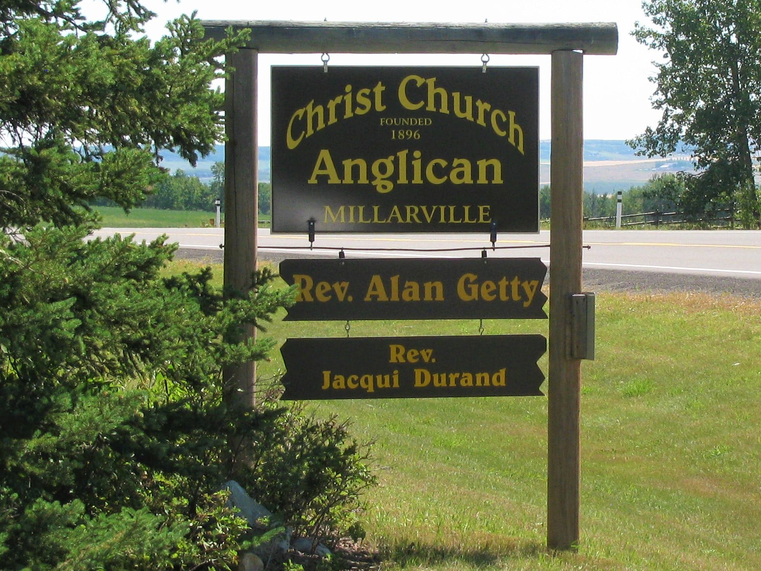
The Millarville Cemetery, also known as Christ Church Anglican Cemetery, is located about 5 km east of the town. There are 662 interments on this site.

The town is named after Malcolm Tanner Millar (1860-1937), first settler and postmaster and a resident of the area for fifty years. Millar came from Scotland in 1879 and joined the North West Mounted Police the following year. After five years with the Force, he took his discharge and homesteaded on Sheep Creek in 1886. The first post office was opened at his home in April of 1892 and served the community for twenty years until a new one was established further west.

Deaths

Longevity

Address

Highway 49
Nearest Populated Centre: Millarville,
Province: Alberta

Map Location

Latitude, Longitude
50.75558, -114.22279

Map Location

Search for:
RESET
Surname Given Name Born Died Age Photo(s) Cemetery Obituary Narrative R Code

The 25 most common surnames found in this cemetery.

loader

The 25 most common given names found in this cemetery.

loader

Other Cemeteries

Eventide Cemetery (Wheatland County)

Hwy 547 , Gleichen , Alberta

Cessford Cemetery (Special Area No. 2)

Highway 561 E of Highway 876 , Cessford , Alberta

Foothills Cemetery (Foothills County)

176044 402 Ave W , Diamond Valley , Alberta

St. Gabriel's Cemetery (Carbon, Kneehill County)

Range Rd 232 , Carbon , Alberta

Frankburg Cemetery (Foothills County)

Range Rd 273, S of Hwy 23 , Frankburg (ghost town south of Blackie) , Alberta

Little Knoll Finnish Lutheran Cemetery (Forty Mile County)

Range Road 55 south of Township Road 62 , Manyberries , Alberta

Lomond Cemetery

Highway 531 & Range Road 202 , Lomond , Alberta

Union Cemetery (Calgary)

27 Ave & Spiller Rd SE , Calgary , Alberta

Jenner Old Cemetery (Special Area No. 2)

Township Road 210 W of Jenner , Jenner , Alberta

Evangelical Lutheran Church of Zion (Forty Mile County)

Township Road 62 and Range Road 55, east of Highway 889 , Manyberries , Alberta

Discover Alberta Ancestors