
4902 - 50th Avenue
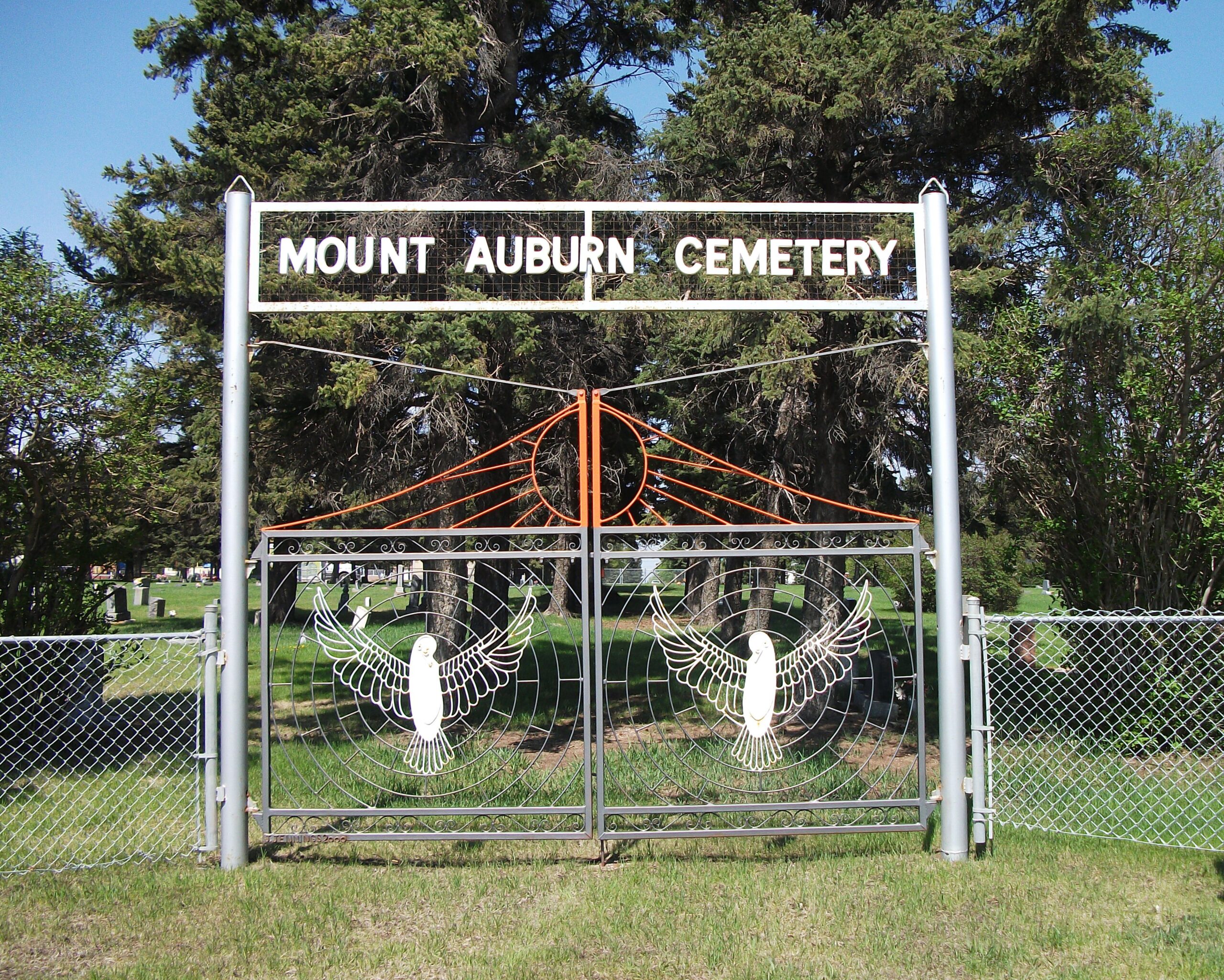
Mount Auburn Cemetery, nestled within Rimbey’s urban core, offers a window into the town’s early 20th-century development—and the growing importance of community remembrance and respect. Surveyed in 1904, its inception came during a period when Rimbey, originally known as Kansas Ridge, was thriving as a burgeoning settlement. By 1931, the cemetery had reached several hundred burials, serving families across religious and personal affiliations.
The cemetery’s landscape transformation in 1932, spearheaded by community volunteers, reflects the town’s collective pride and desire to honor the past. Workers flattened terrain, planted spruce and shrubs, and gave the space a dignified, park-like atmosphere.
Once filled, Mount Auburn made way for West Haven Cemetery to meet Rimbey’s increasing needs. Today, the municipal office oversees both cemeteries, managing plot sales, records, and memorial services, while maintaining daily public access.
Significantly, the Field of Honour within its grounds preserves the legacy of Rimbey’s veterans, offering a place of remembrance for their sacrifice.
Mount Auburn Cemetery stands not just as a resting place—but as a living memory of Rimbey’s origins, communal spirit, and dedication to honoring those who shaped the town
Address
4902 - 50th Avenue
Nearest Populated Centre: Rimbey,
Province: Alberta
Map Location
Latitude, Longitude
52.63997, -114.23569
Map Location
| Surname | Given Name | Born | Died | Age | Photos | Cemetery | R Code |
|---|---|---|---|---|---|---|---|
The 25 most common surnames found in this cemetery.

The 25 most common given names found in this cemetery.