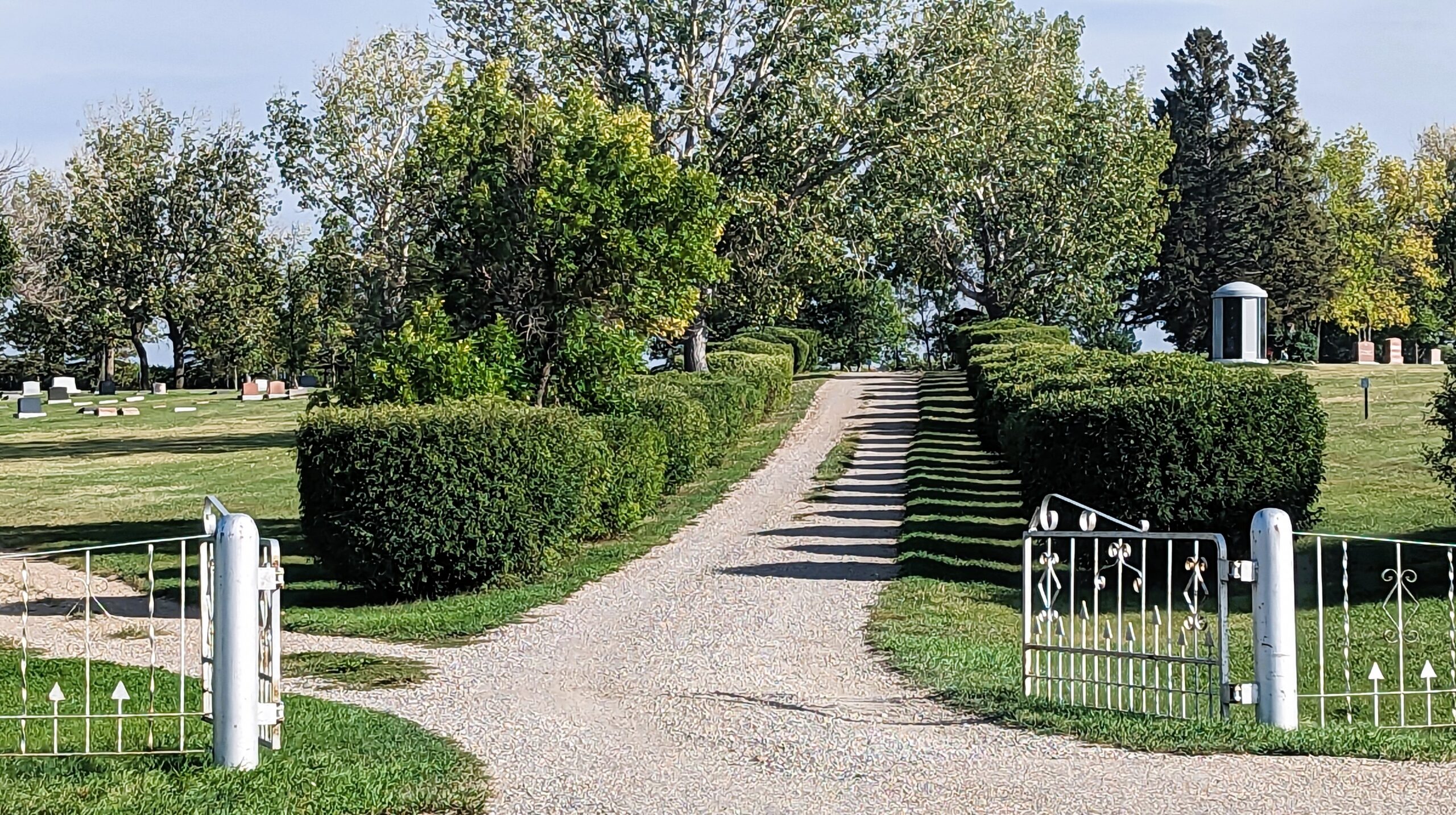
Deaths

Longevity

Address


Nearest Populated Centre: Nanton,
Province: Alberta

Map Location

Latitude, Longitude
50.333448, -113.758819

Map Location

Search for:
RESET
Surname Given Name Born Died Age Photo(s) Cemetery Obituary Narrative R Code

The 25 most common surnames found in this cemetery.

loader

The 25 most common given names found in this cemetery.

loader

Other Cemeteries

St. Anthony's Cemetery (Maleb, Forty Mile County)

Township Road 91 and Range Road 91 , Maleb , Alberta

Blairmore Old Union Cemetery (Crowsnest Pass)

25th Ave , Blairmore , Alberta

Namaka Mennonite Cemetery (Wheatland County)

Namaka, Strathmore Census Division , Carseland , Alberta

Gnadenfeldt Baptist Cemetery (Cypress County)

Twp Rd 202 & Rge Rd 12 , Sandy Point , Alberta

Hilda Seventh Day Adventist Cemetery (Cypress County)

Twp Rd 182 & Rge Rd 13 , Hilda , Alberta

West Meadows Cemetery (Red Deer County)

4001 - 60 Street , Sylvan Lake , Alberta

Kootenai Brown Cemetery (Waterton Lakes National Park)

Highway 5, Waterton Park , Waterton , Alberta

Blairmore Catholic Cemetery (Crowsnest Pass)

25th Ave , Blairmore , Alberta

Barons Cemetery (Lethbridge County)

Twp Rd 23 south of Rge Rd 520 , Barons , Alberta

St. Joseph's Cemetery (Three Hills, Kneehill County)

Secondary Highway 583 just west of Three Hills , Three Hills , Alberta

Discover Alberta Ancestors