Nemiscam, or Nemiskam, is an unincorporated community within the County of Forty Mile No. 8 in southern Alberta, Canada. The community is about 5 km east of Foremost and west of Etzikom, Alberta on Highway 61 and is administered by the County of Forty Mile.

Courtesy of Medicine Hat and District Genealogical Society (MHDGS)

Deaths

Longevity

Address

Highway 501 (Red Coat Trail) and Range Road 103
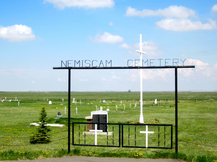
Nearest Populated Centre: Nemiskam,
Province: Alberta

Map Location

Latitude, Longitude
49.46548, -111.28504

Map Location

Search for:
RESET
Surname Given Name Born Died Age Photo(s) Cemetery Obituary Narrative R Code

The 25 most common surnames found in this cemetery.

loader

The 25 most common given names found in this cemetery.

loader

Other Cemeteries

Christian Community of Universal Brotherhood Cemetery (Vulcan County)

Rge Rd 225 south of Twp Rd 205 , Arrowwood , Alberta

Foothills Cemetery (Foothills County)

176044 402 Ave W , Diamond Valley , Alberta

West Duchess Cemetery (Newell County)

N of Brianne Boulevard , Duchess , Alberta

Christ Church Anglican Cemetery (Kneehill County)

315079 Rge Rd 225 , Three Hills , Alberta

Pendant D'Oreille Cemetery (Forty Mile County)

Township Rd 33 and Range Road 73 , Orion , Alberta

Patricia Cemetery (Newell County)

Range Road 131 S of Highway 544/876 , Patricia , Alberta

Bergen Cemetery (Mountain View County)

32001 Rge Rd 52; 12 km S of Sundre , Sundre , Alberta

Church of God Cemetery (Walsh, Cypress County)

Twp Rd 100 & Range Rd 12 (Graburn Road) , Walsh , Alberta

Valley View Lutheran Cemetery (Forty Mile County)

Township Road 84 and Range Road 77 , Seven Persons , Alberta

Kootenay Brown Cemetery (Waterton Lakes National Park)

Highway 5, Waterton Park , Waterton , Alberta

Discover Alberta Ancestors