Monarch is a hamlet in southern Alberta, Canada within the Lethbridge County. It is located on Highway 3A, approximately 23 kilometres northwest of Lethbridge. In turn, Lethbridge is located 200 kilometres southeast of Calgary. Monarch was formerly a village, existing as such from about 1913 to about 1939.

The Monarch or Old Monarch Cemetery is located 1/2 mile east of Monarch, Alberta. It is 1/2 mile south of Highway 3A on Range Road 23-5 and is adjacent to a communications tower. As of 2023, there are just 8 interments at this cemetery.

Deaths

Longevity

Address

Range Rd 235 South of Hwy 3A
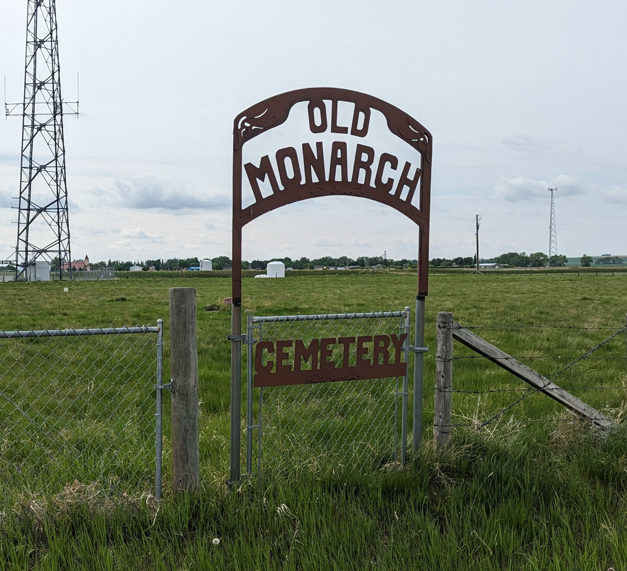
Nearest Populated Centre: Monarch,
Province: Alberta

Map Location

Latitude, Longitude
49.80046, -113.09513

Map Location

Search for:
RESET
Surname Given Name Born Died Age Photo(s) Cemetery Obituary Narrative R Code

The 25 most common surnames found in this cemetery.

loader

The 25 most common given names found in this cemetery.

loader

Other Cemeteries

Beiseker Level Land Seventh-day Adventist Cemetery (Rocky View County)

Range Rd 242, south of Highway #9 , Beiseker , Alberta

Blairmore Old Union Cemetery (Crowsnest Pass)

25th Ave , Blairmore , Alberta

Krasivaya Dolina Doukhobor Cemetery (Vulcan County)

Rge Rd 222 north of Hwy 542 , Queenstown , Alberta

Knee Hill Valley Divide Cemetery (Red Deer County)

Twp Rd 350 west of Rge Rd 264 , Knee Hill Valley , Alberta

Christian Community of Universal Brotherhood Cemetery (Vulcan County)

Rge Rd 225 south of Twp Rd 205 , Arrowwood , Alberta

Hainstock Cemetery (Mountain View County)

Highway 27; 5 km west of Olds , Olds , Alberta

Knoll Cemetery (Michichi, Starland County)

Township Road 31-0 E of Highway 849 , Michichi , Alberta

Bethel Carbon Cemetery (Kneehill County)

Twp Rd 284 & Twp Rd 836 , Carbon , Alberta

Prospy Cemetery (Forty Mile County)

Highway 885, Township Road 81 and Range Road 92 , Etzikom , Alberta

Lobley Cemetery (Mountain View County)

Range Rd 61 south of Township Rd 344 , Sundre , Alberta

Discover Alberta Ancestors