Deaths

Longevity

Address

Range Road 131 S of Highway 544/876
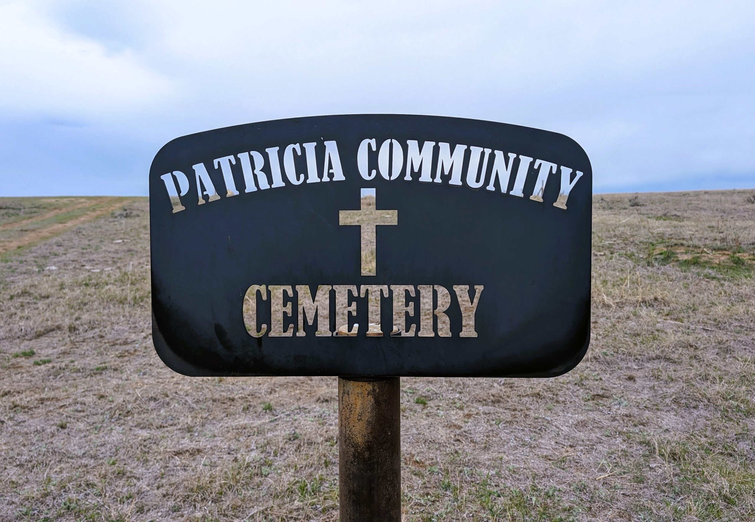
Nearest Populated Centre: Patricia,
Province: Alberta

Map Location

Latitude, Longitude
50.67356, -111.69045

Map Location

Search for:
RESET
Surname Given Name Born Died Age Photos Cemetery R Code

The 25 most common surnames found in this cemetery.

loader

The 25 most common given names found in this cemetery.

loader

Other Cemeteries

Beiseker Zion United Cemetery (Rocky View County)

Range Rd 272 west of Range Rd 253 , Beiseker , Alberta

Blackie Cemetery (Foothills County)

490001 Hwy 799 , Blackie , Alberta

Scotfield Cemetery (Special Area No. 2)

1st St East , Scotfield , Alberta

St. Rita's Cemetery (Rockyford, Wheatland County)

412 Serviceberry Trail , Rockyford , Alberta

Torrington East Cemetery (Kneehill County)

330007A Hwy 805 , Torrington , Alberta

Hillcrest Cemetery (Crowsnest Pass)

223 St , Hillcrest Mines , Alberta

Okotoks Cemetery (Foothills County)

30 Westland Street , Okotoks , Alberta

Fath Hill Cemetery (Vulcan County)

Rge Rd 529 west of Hwy 23 , Champion , Alberta

Mitford Cemetery (Mountain View County)

W of Horse Creek Road, S of Highway 1A , Cochrane , Alberta

Ouelletteville Cemetery (Wheatland County)

Twp Rd 230 just west of Rge Rd 222 , Cluny , Alberta

Discover Alberta Ancestors