Deaths

Longevity

Address

Range Road 131 S of Highway 544/876
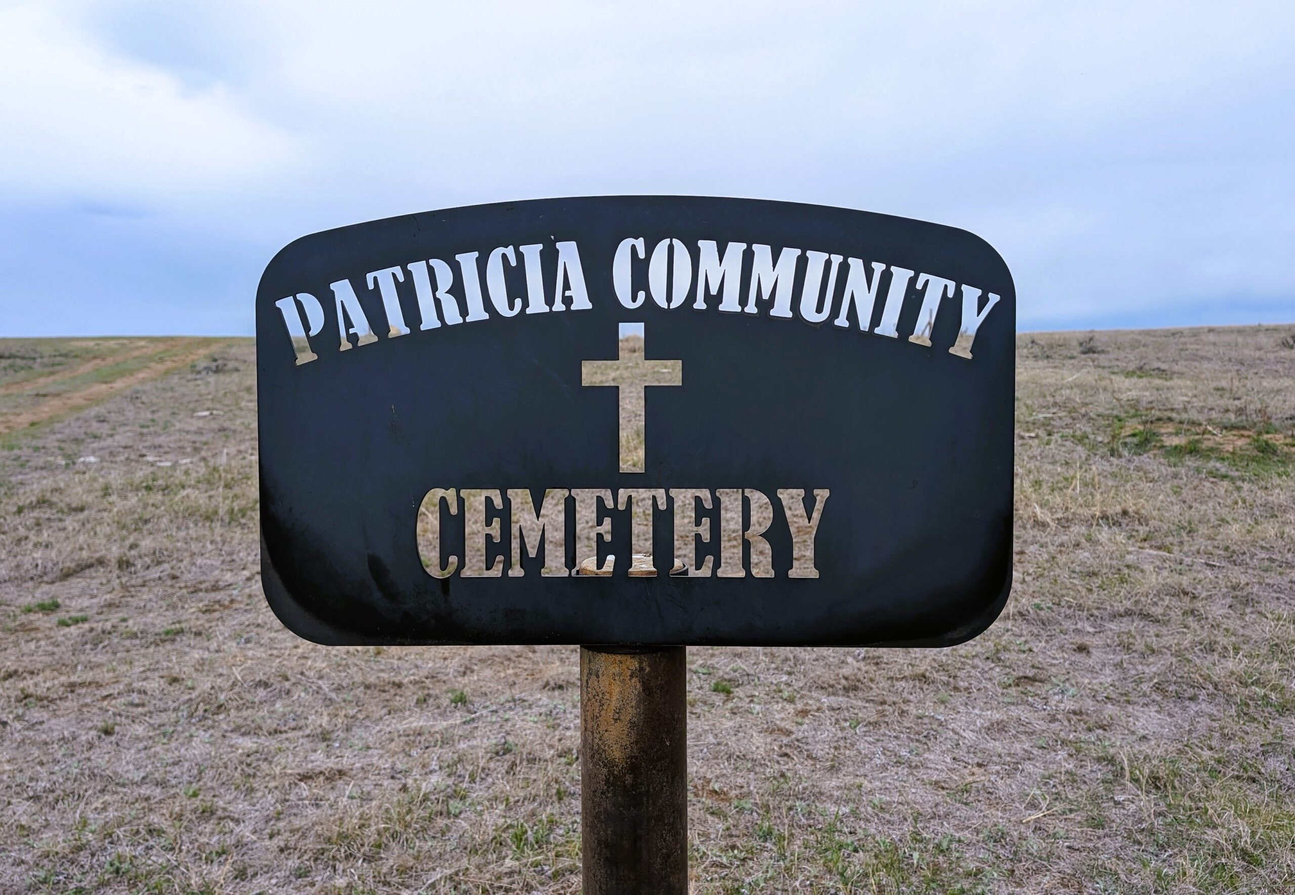
Nearest Populated Centre: Patricia,
Province: Alberta

Map Location

Latitude, Longitude
50.67356, -111.69045

Map Location

Search for:
RESET
Surname Given Name Born Died Age Photo(s) Cemetery Obituary Narrative R Code

The 25 most common surnames found in this cemetery.

loader

The 25 most common given names found in this cemetery.

loader

Other Cemeteries

Knee Hill Valley Divide Cemetery (Red Deer County)

Twp Rd 350 west of Rge Rd 264 , Knee Hill Valley , Alberta

Bunker Hill Cemetery (Wetaskiwin County)

463033 Range Road 33 S of Township Road 464 , Winfield , Alberta

Coffin Handle Butte Cemetery (Vulcan County)

top of Coffin Handle Butte east of Milo AB , Milo , Alberta

Burnbrae Cemetery (Ponoka County)

Township Road 444 east of Highway 771 , Homeglen , Alberta

Neuburg Church of God Cemetery (Cypress County)

Twp Rd 102 & Hwy 41 , Neuberg (south of Irvine) , Alberta

Knoll Cemetery (Michichi, Starland County)

Township Road 31-0 E of Highway 849 , Michichi , Alberta

Champion Cemetery (Vulcan County)

1 St South , Champion , Alberta

Lutheran Cemetery (Clearwater, Cypress County)

Twp Rd 130 & Rge Rd 25 , Clearwater Lakes , Alberta

Munson Cemetery (Starland County)

Highway 9 south of Munson , Munson , Alberta

Carstairs Cemetery (Mountain View County)

Gough Road , Carstairs , Alberta

Discover Alberta Ancestors