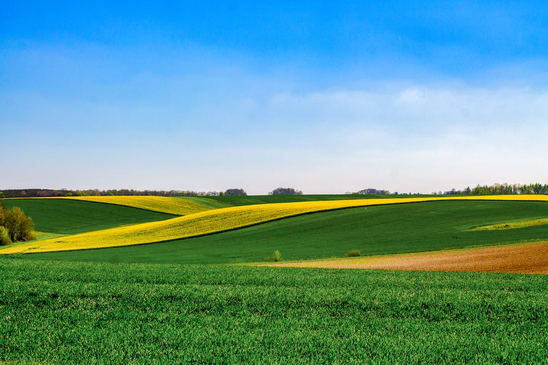
Old #1 Highway and East Gem Road

About 1917 The Rosemary – Countess area was opened for settlement primarily for war veterans returning to Canada after WWI. The Catholic settlers were mainly French Canadians from Quebec and the New England states. The promotion to encourage settlement must have been extremely enticing as most who came had no previous farming experience, and no training was offered. The majority of these settlers were tradesmen, shopkeepers, or lawyers. What money they had was invested in building comfortable homes. None of the setters were in fact veterans.
The cost of land improvement was high, $66 per acre for a quarter section, and many invested much more in further improvements. For two years the crop yields were good, and thereafter there was a steady decline. At its peak the colony numbered 65 families.
In 1918 the Catholic people living in the area reported to the Bishop of Calgary that they wanted to build a church. The decision was made to situate the church between Rosemary and Countess. Father Beaton said mass in the Lamoureux home twice monthly until the church was built in the spring of 1919, The church was blessed by Monsigneur Kidd. The dedication was not a big ceremony, but an ordinary mass. After the ceremony everyone gathered in front of the church for a photo, then went by wagon and democrat to Bassano Hotel for a meal. Mass was said twice a month. Rev. J.E. Douglas said mass the summer of 1919. The church itself was a real landmark rising above the flat open prairie. Built in the French style, it’s bell tower reached heavenwards. The bell was given by a priest from the East. The extensive gallery made it possible to seat 200 people; this was often crowded to capacity in the early years.
The church was built in 1918 and dismantled in 1952. The bell went to the Tilley Catholic Church and the land was sold, except for the cemetery. The cemetery was never registered with the provincial government.
Address
Old #1 Highway and East Gem Road
Nearest Populated Centre: Rosemary,
Province: Alberta
Map Location
Latitude, Longitude
50.79005, -112.08188
Map Location
| Surname | Given Name | Born | Died | Age | Photos | Cemetery | R Code |
|---|---|---|---|---|---|---|---|
The 25 most common surnames found in this cemetery.

The 25 most common given names found in this cemetery.

