
Township Road 112 and Range Road 21
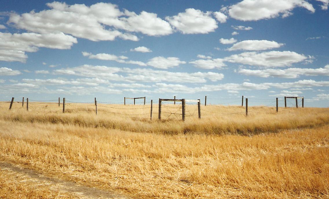
This cemetery is located four kilometers south of Highway 1, on Range Road 21 or Stony Hill Road, east of Irvine, Alberta. As at August 20, 1996, there was a small enclosure about 20 by 20 yards, the fence was broken down, and grass had not been cut for years. Several depressions indicate a number of graves besides the two that are marked, one small metal marker has no legible information. New head stone installed recently.
Courtesy of Medicine Hat and District Genealogical Society (MHDGS)
Address
Township Road 112 and Range Road 21
Nearest Populated Centre: Irvine,
Province: Alberta
Map Location
Latitude, Longitude
49.90213, -110.16318
Map Location
| Surname | Given Name | Born | Died | Age | Photos | Cemetery | R Code |
|---|---|---|---|---|---|---|---|
The 25 most common surnames found in this cemetery.

The 25 most common given names found in this cemetery.