Deaths

Longevity

Address

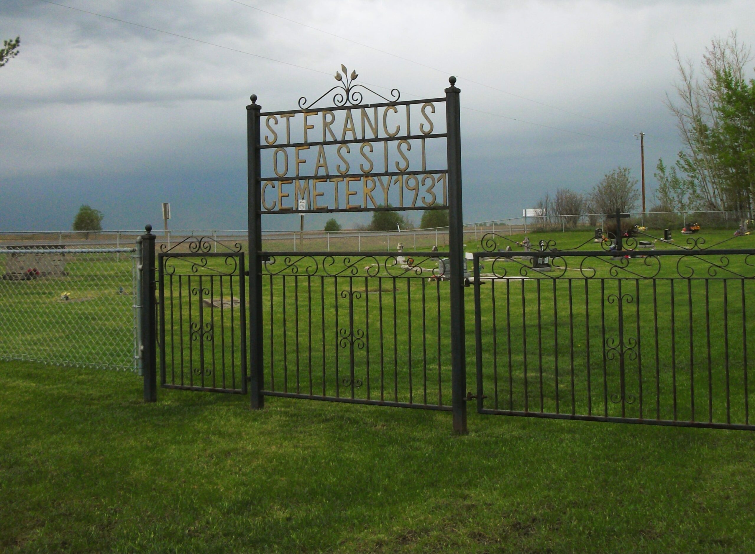
Highway 770 north of Highway 622
Nearest Populated Centre: Thorsby,
Province: Alberta

Map Location

Latitude, Longitude
53.28055, -114.34241

Map Location

Search for:
RESET
Surname Given Name Born Died Age Photo(s) Cemetery Obituary Narrative R Code

The 25 most common surnames found in this cemetery.

loader

The 25 most common given names found in this cemetery.

loader

Other Cemeteries

West Zion Mennonite Cemetery (Mountain View County)

2155 Twp Rd 304 , Carstairs , Alberta

Whitla Cemetery (Forty Mile County)

Range Road 84 north of Highway 3 , Whitla , Alberta

Burnbrae Cemetery (Ponoka County)

Township Road 444 east of Highway 771 , Homeglen , Alberta

Norwegian Lutheran Cemetery (Cypress County)

Rge Rd 20 and Twp Rd 160 , Schuler , Alberta

Sunnynook Cemetery (Special Area No. 2)

Township Road 272 E of Range Road 124A , Hanna , Alberta

Goddard Cemetery (Forty Mile County)

Township Road 121 and Range Road 50 , Foremost , Alberta

Little Knoll Finnish Lutheran Cemetery (Forty Mile County)

Range Road 55 south of Township Road 62 , Manyberries , Alberta

Eagle Hill Cemetery (Mountain View County)

33379 Range Rd 35 , Olds , Alberta

Munson Cemetery (Starland County)

Highway 9 south of Munson , Munson , Alberta

Walsh Community Cemetery (Cypress County)

Township Road 114 and Range Road 13 , Walsh , Alberta

Discover Alberta Ancestors