Deaths

Longevity

Address

Highway 770 north of Highway 622
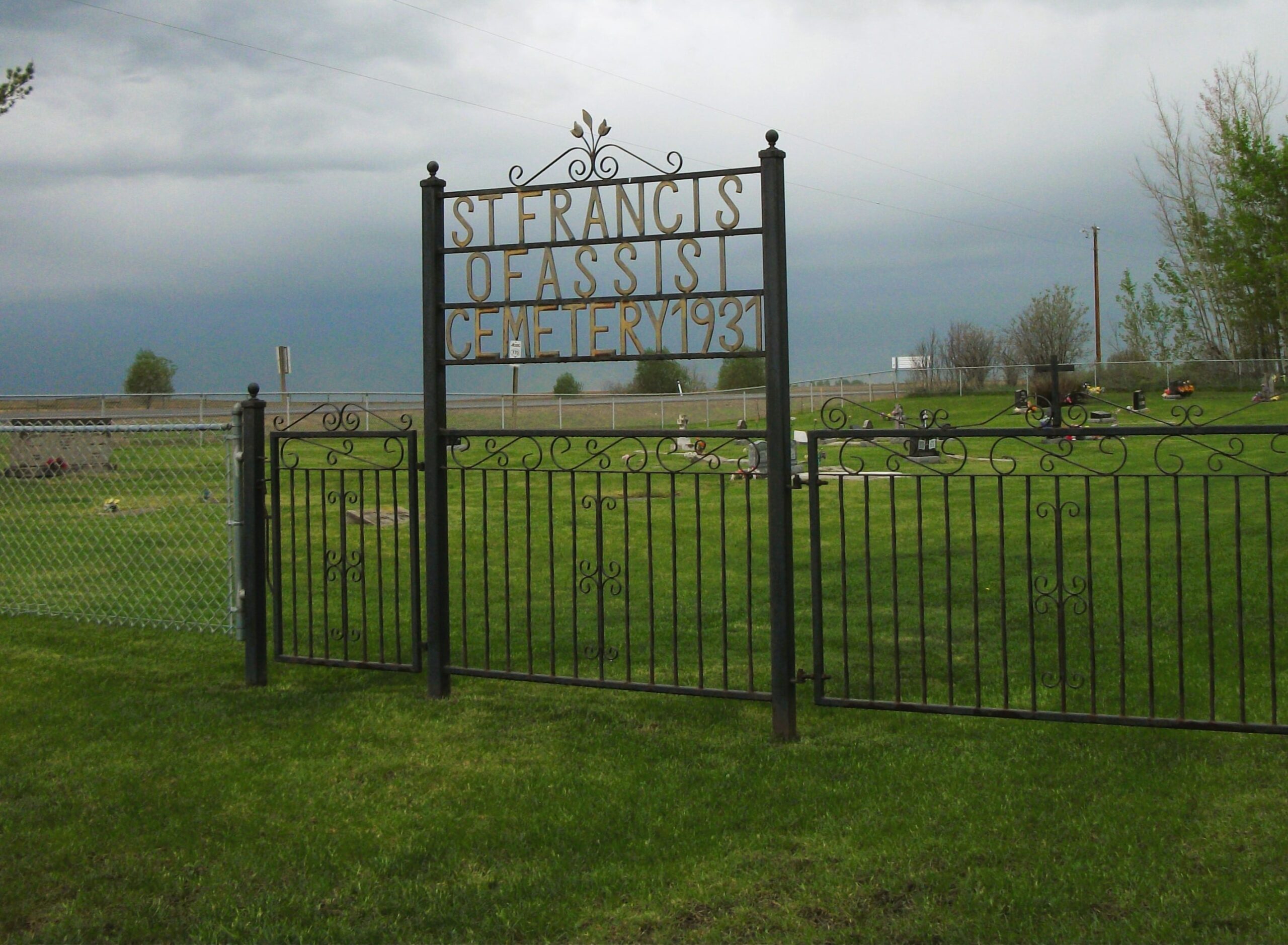
Nearest Populated Centre: Thorsby,
Province: Alberta

Map Location

Latitude, Longitude
53.28055, -114.34241

Map Location

Search for:
RESET
Surname Given Name Born Died Age Photo(s) Cemetery Obituary Narrative R Code

The 25 most common surnames found in this cemetery.

loader

The 25 most common given names found in this cemetery.

loader

Other Cemeteries

Cowley Cemetery (MD of Pincher Creek)

Range Rd 14 , Cowley , Alberta

Spring Coulee Cemetery (Cardston County)

Range Road 234 N of Spring Coulee , Spring Coulee , Alberta

St. Cecilia's Cemetery (Nanton, MD of Willow Creek)

Range Rd 282, north of Hwy 533 , Nanton , Alberta

Knee Hill Valley Divide Cemetery (Red Deer County)

Twp Rd 350 west of Rge Rd 264 , Knee Hill Valley , Alberta

Lobley Cemetery (Mountain View County)

Range Rd 61 south of Township Rd 344 , Sundre , Alberta

Bergthal Cemetery (Mountain View County)

31-30539 Rge Rd 285 , NE of Carstairs , Alberta

Queen's Park Cemetery & Mausoleum (Calgary)

3219 4 St NW , Calgary , Alberta

Comrey Cemetery (Forty Mile County)

Range Rd 62 north of Twp Road 22 , Manyberries , Alberta

St. Patrick Cemetery (Calgary)

14608 Macleod Tr SE (access off 146 Ave SE & Bannister Rd) , Calgary , Alberta

Alston Cemetery (Vulcan County)

Hwy 527 & Twp Rd 142; SW of Champion , SW of Champion , Alberta

Discover Alberta Ancestors