Deaths

Longevity

Address

Secondary Highway 583 just west of Three Hills
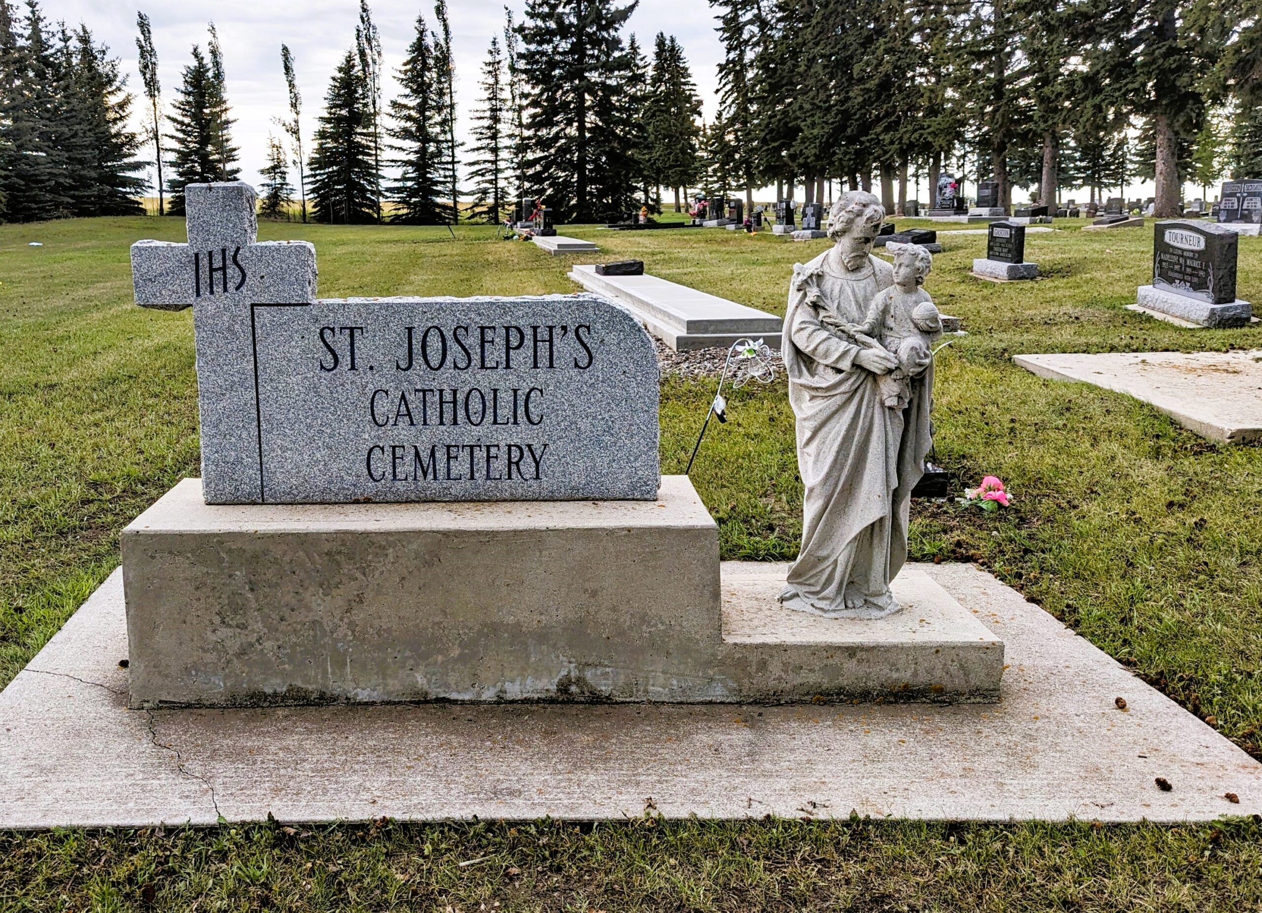
Nearest Populated Centre: Three Hills,
Province: Alberta

Map Location

Latitude, Longitude
51.70685, -113.28227

Map Location

Search for:
RESET
Surname Given Name Born Died Age Photo(s) Cemetery Obituary Narrative R Code

The 25 most common surnames found in this cemetery.

loader

The 25 most common given names found in this cemetery.

loader

Other Cemeteries

St. Gabriel's Cemetery (Carbon, Kneehill County)

Range Rd 232 , Carbon , Alberta

St. Anne's Cemetery (Josephburg, Cypress County)

East of Range Road 30, south of Township Road 94 , Josephburg , Alberta

Hillcrest Cemetery (Crowsnest Pass)

223 St , Hillcrest Mines , Alberta

Pleasant View Cemetery (Forty Mile County)

8 km west of junction of Highway 501 and Range Road 63 , Manyberries , Alberta

Passburg Cemetery (Crowsnest Pass)

Passburg Dr , Passburg , Alberta

Westcott Cemetery (Mountain View County)

Westcott Rd & Range Rd 32 , Westcott , Alberta

Reid Hill Cemetery (Vulcan County)

East of Vulcan at Rge Rd 230 , Vulcan , Alberta

Sacred Heart Cemetery (Faith, Forty Mile County)

Township Road 41 and Range Road 100 , Nemiskam , Alberta

Rockyford Union Cemetery (Wheatland County)

Twp Rd 263 & Range Rd 234 , Rockyford , Alberta

Fishburn United Church Cemetery (MD of Pincher Creek)

28232 Twp Rd 52 , Fishburn , Alberta

Discover Alberta Ancestors