
Range Road 162 and Township Road 302
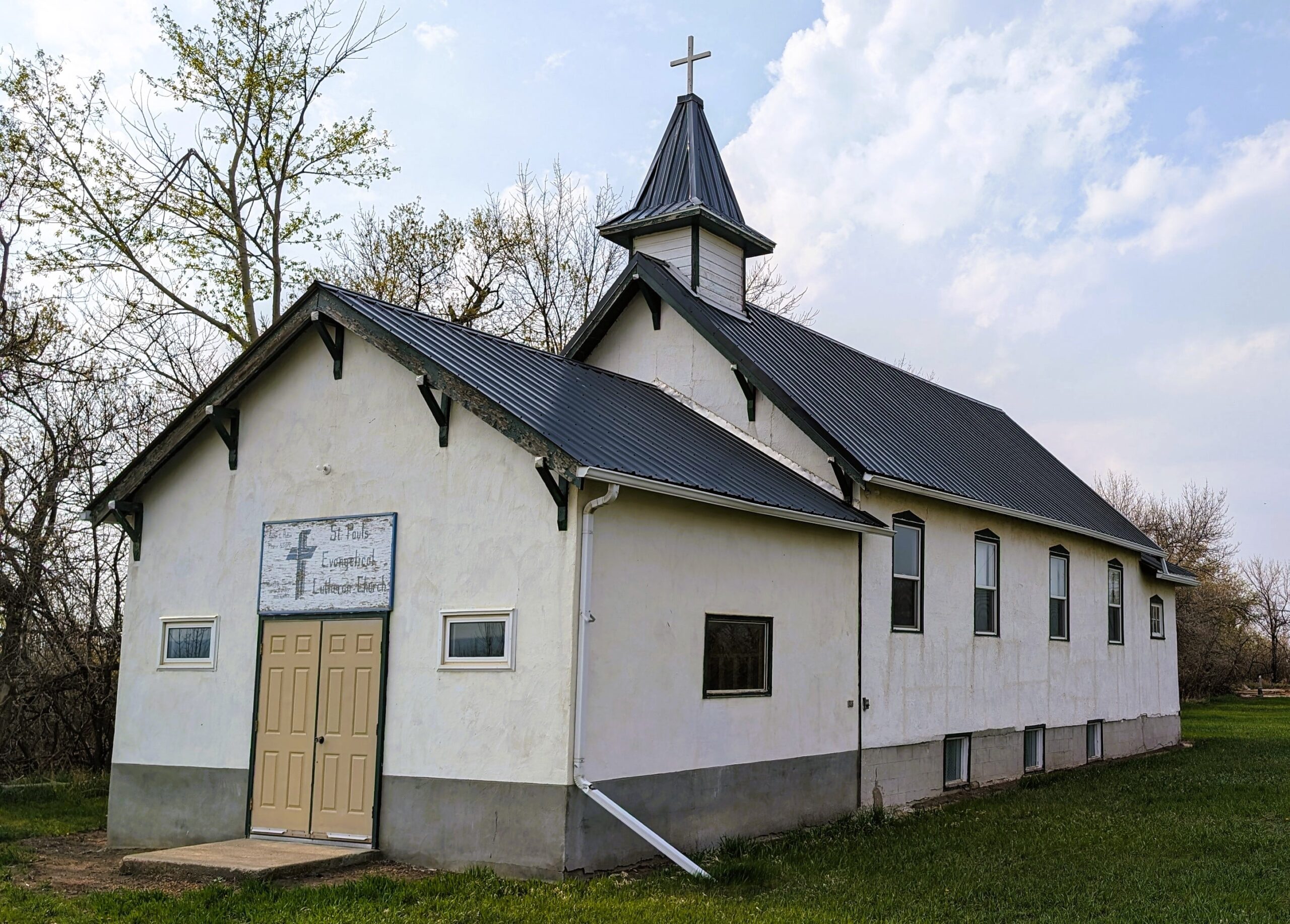
St. Paul’s Lutheran Cemetery, located in Special Area No. 2 in Alberta is located 30 kilometers southwest of Hanna, Alberta, in the Hand Hills. The cemetery was established to serve the local Lutheran community, which was primarily composed of German immigrants who settled in the region during the late 19th and early 20th centuries. These settlers brought with them their traditions, faith, and a strong sense of community, which is reflected in the establishment of the cemetery. The cemetery not only provided a final resting place for the deceased but also became a focal point for the community’s spiritual and social activities.
Significance and Features
The cemetery features a variety of headstones, some of which date back to the early 1900s. These headstones are often inscribed in German, reflecting the linguistic heritage of the community. The inscriptions provide valuable insights into the lives of the individuals buried there, including their names, dates of birth and death, and sometimes even their places of origin in Germany. One of the notable features of St. Paul’s Lutheran Cemetery is its serene and picturesque setting. St. Paul’s Lutheran Cemetery has played a significant role in the cultural and social life of the local community. It has been the site of numerous memorial services, family gatherings, and community events.
Efforts to preserve St. Paul’s Lutheran Cemetery have been ongoing. Local historical societies and community groups have worked to maintain the cemetery grounds, repair damaged headstones, and document the history of those buried there. In recent years, there has been a growing interest in genealogy and local history, which has further highlighted the importance of preserving sites like St. Paul’s Lutheran Cemetery. Researchers and descendants of the early settlers often visit the cemetery to trace their family histories and pay their respects.
Address
Range Road 162 and Township Road 302
Nearest Populated Centre: Hanna,
Province: Alberta
Map Location
Latitude, Longitude
51.56254, -112.16226
Map Location
| Surname | Given Name | Born | Died | Age | Photos | Cemetery | R Code |
|---|---|---|---|---|---|---|---|
The 25 most common surnames found in this cemetery.

The 25 most common given names found in this cemetery.