Deaths

Longevity

Address

Highway 840 & Cemetery Road
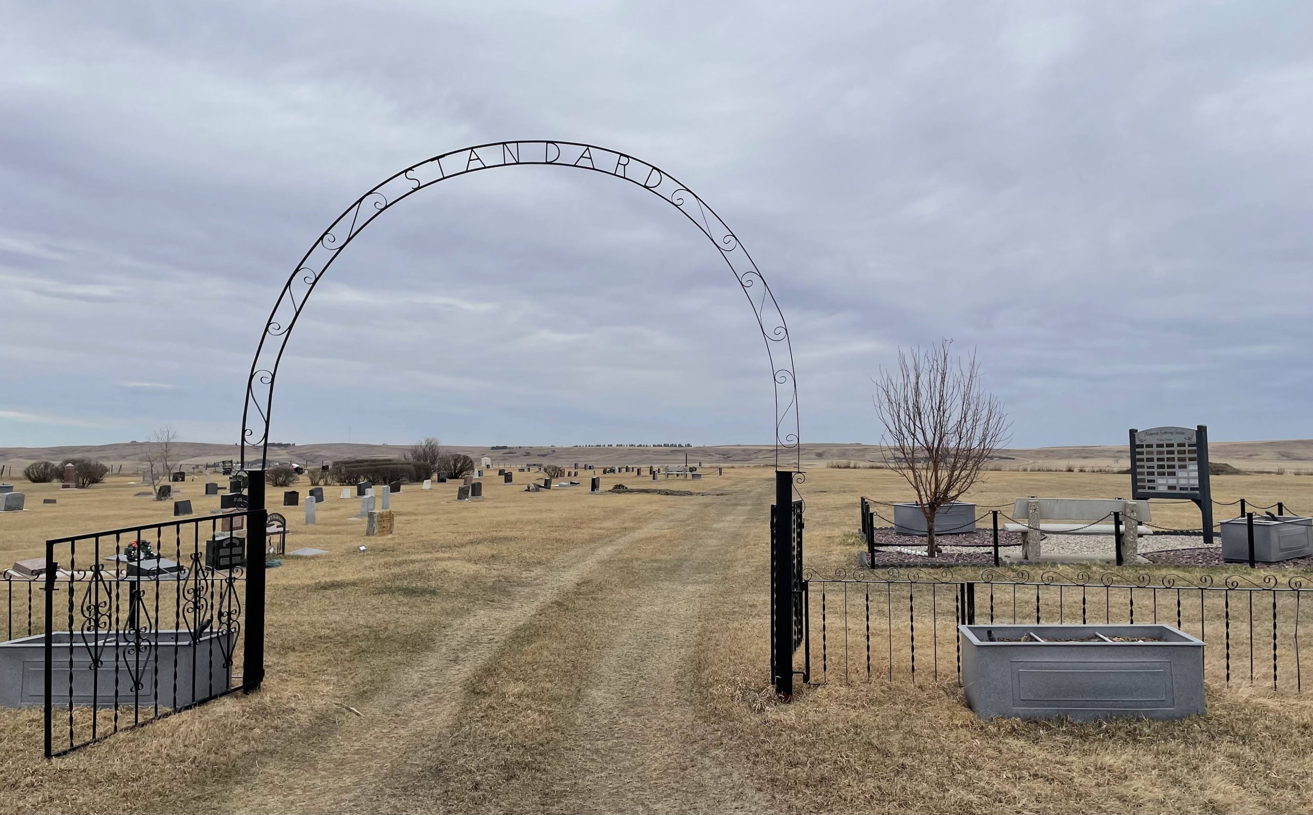
Nearest Populated Centre: Standard,
Province: Alberta

Map Location

Latitude, Longitude
51.11837, -112.98699

Map Location

Search for:
RESET
Surname Given Name Born Died Age Photo(s) Cemetery Obituary Narrative R Code

The 25 most common surnames found in this cemetery.

loader

The 25 most common given names found in this cemetery.

loader

Other Cemeteries

Torrington West Cemetery (Kneehill County)

263074 Hwy 27 , Torrington , Alberta

Ouelletteville Cemetery (Wheatland County)

Twp Rd 230 just west of Rge Rd 222 , Cluny , Alberta

St. Patrick Cemetery (Calgary)

14608 Macleod Tr SE (access off 146 Ave SE & Bannister Rd) , Calgary , Alberta

Mayton Cemetery (Mountain View County)

27359 Twp Rd 333 , Mayton , Alberta

Cochrane Cemetery (Rocky View County)

408 Centre Ave N , Cochrane , Alberta

Winnifred Cemetery (Forty Mile County)

Just south of Gate Avenue between Albert St and Park St , Winnifred , Alberta

Nemiscam Cemetery (Forty Mile County)

Highway 501 (Red Coat Trail) and Range Road 103 , Nemiskam , Alberta

Millarville Cemetery (Foothills County)

Highway 49 , Millarville , Alberta

Indian Battle Park Cemetery (City of Lethbridge)

200 Indian Battle Road South (Riverbottom) , Lethbridge , Alberta

Elinor Cemetery (Lethbridge County)

Rge Rd 520 west of Twp Rd 23 , Barons , Alberta

Discover Alberta Ancestors