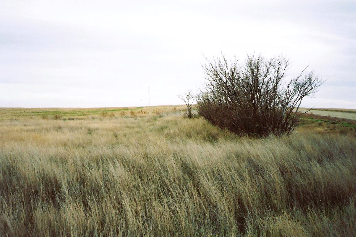
This tiny family plot is located on the Stockburger homestead along the north line about 300 yards west of Range Road 20 and one and a half miles north of Township Road 184. As at October 10, 1996, we believe that at least seven burials occurred here including one Durr child.

Courtesy of Medicine Hat and District Genealogical Society (MHDGS)

Deaths

Longevity

Address

Township Road 190 and Range Road 20
Nearest Populated Centre: Hilda,
Province: Alberta

Map Location

Latitude, Longitude
50.56454, -110.15041

Map Location

Search for:
RESET
Surname Given Name Born Died Age Photo(s) Cemetery Obituary Narrative R Code

The 25 most common surnames found in this cemetery.

loader

The 25 most common given names found in this cemetery.

loader

Other Cemeteries

Lobley Cemetery (Mountain View County)

Range Rd 61 south of Township Rd 344 , Sundre , Alberta

Lone Butte Cemetery (Special Area No. 2)

Highway 570 and Range Road 151 , Dorothy , Alberta

Gem Cemetery (Newell County)

Township Road 224 E of Highway 862 , Gem , Alberta

Rosemary North Cemetery (Newell County)

Range Road 160 N of Highway 550 , Rosemary , Alberta

Eagle Valley Cemetery (Mountain View County)

4455 Twp Rd 340 , Sundre , Alberta

Fath Hill Cemetery (Vulcan County)

Rge Rd 529 west of Hwy 23 , Champion , Alberta

Faith Union Cemetery (Forty Mile County)

Township Road 42 and Highway 885 , Etzikom , Alberta

Burnsland Cemetery (Calgary)

3020 Spiller Rd SE , Calgary , Alberta

St. Anthony's Cemetery (Maleb, Forty Mile County)

Township Road 91 and Range Road 91 , Maleb , Alberta

Frankburg Cemetery (Foothills County)

Range Rd 273, S of Hwy 23 , Frankburg (ghost town south of Blackie) , Alberta

Discover Alberta Ancestors