
Range Road 60
The town of Sundre is located on the banks of the Red Deer River in the foothills of the Rocky Mountains, 100 km Northwest of Calgary. It is a major service centre for the area’s industries which include Oil & Gas, Lumber & Forestry, farming, ranching, recreation & tourism. Sundre was named so in 1909 by the town’s first postmaster Nels T. Hagen, after his hometown in Norway. It was incorporated as a town on January 1, 1956. In 2021, Sundre had a population of 2,672.
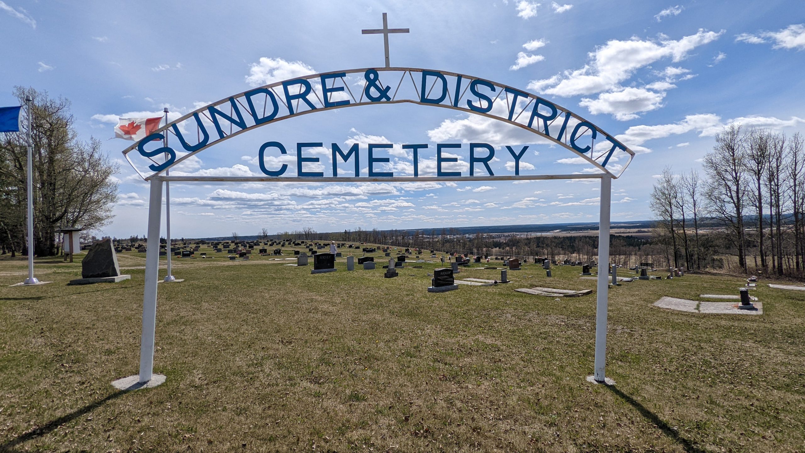
The Sundre Cemetery is nested on the South slope of Snake Hill, 10 km northwest of town. In July 1915, a local settler named Mary Brooks passed away. She was unable to have a proper burial in nearby Olds because the Great Flood of 1915 had washed away the Sundre Bridge. The family decided to bury her on the family farm. In order to keep the land as a cemetery, her son Ike donated 4 acres overlooking McDougal Flats. This location provided a panoramic view of the Rocky Mountains for future interments. This was the beginning of the Sundre & District Cemetery.
The ladies of the Sundre Women’s Institution took up the cause at their April 13, 1928 meeting. A board was formed with representation from the local churches and various organizations from town. These included the Legion, Town Council, Chamber of Commerce, Royal Purple and others. The land was incorporated as the Sundre Cemetery on October 31, 1928.
As of 2022, the cemetery has 1,093 recorded burials and is operated by a volunteer Board of Directors.
Text credit: Gary Vooys, Volunteer Board of Directors Member, Sundre Cemetery
Address
Range Road 60
Nearest Populated Centre: Sundre,
Province: Alberta
Map Location
Latitude, Longitude
51.81662, -114.70227
Map Location
| Surname | Given Name | Born | Died | Age | Photos | Cemetery | R Code |
|---|---|---|---|---|---|---|---|
The 25 most common surnames found in this cemetery.

The 25 most common given names found in this cemetery.