Deaths

Longevity

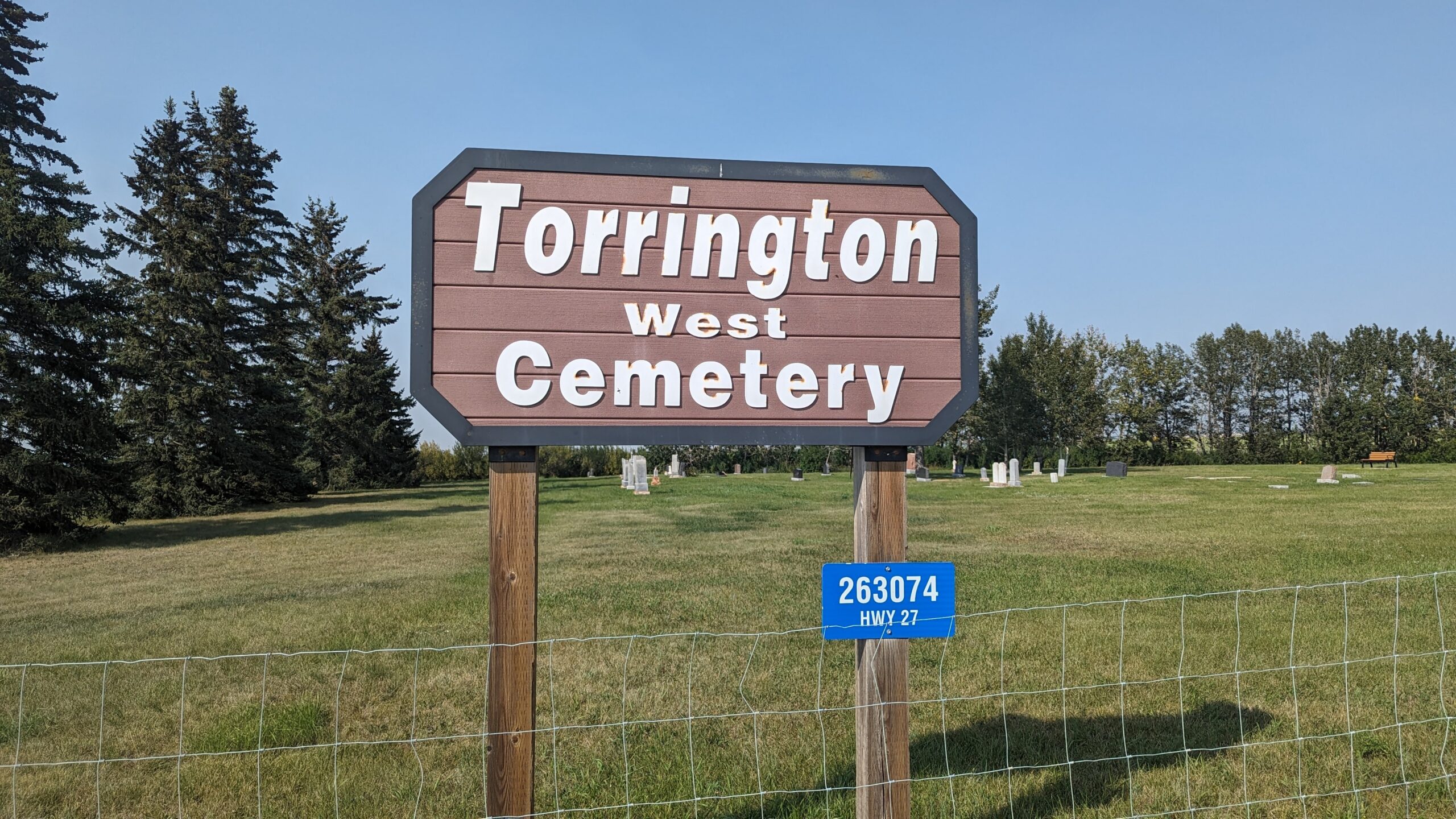
Address

263074 Hwy 27
Nearest Populated Centre: Torrington,
Province: Alberta

Map Location

Latitude, Longitude
51.79474, -113.64001

Map Location

Search for:
RESET
Surname Given Name Born Died Age Photo(s) Cemetery Obituary Narrative R Code

The 25 most common surnames found in this cemetery.

loader

The 25 most common given names found in this cemetery.

loader

Other Cemeteries

Champion Cemetery (Vulcan County)

1 St South , Champion , Alberta

Torrington East Cemetery (Kneehill County)

330007A Hwy 805 , Torrington , Alberta

Rosebud Cemetery (Wheatland County)

Twp Rd 272 , Rosebud , Alberta

Dalum Lutheran Church Cemetery (Wheatland County)

194002 Highway 69 , Dalum , Alberta

Sarcee Butte Cemetery (Kneehill County)

311012 Range Road 221 , Three Hills , Alberta

Box Springs Cemetery (Cypress County)

Twp Rd 142 & Range Rd 62 , Redcliff , Alberta

Mayton Cemetery (Mountain View County)

27359 Twp Rd 333 , Mayton , Alberta

Whitla Cemetery (Forty Mile County)

Range Road 84 north of Highway 3 , Whitla , Alberta

Kimball Cemetery (Cardston County)

Township Road 21 / Range Road 250(B) N of Kimball , Kimball , Alberta

Granum Cemetery (MD of Willow Creek)

Highway 19 and Service Road 2 E; next to Highway 2 , Granum , Alberta

Discover Alberta Ancestors