
Range Road 84 north of Highway 3
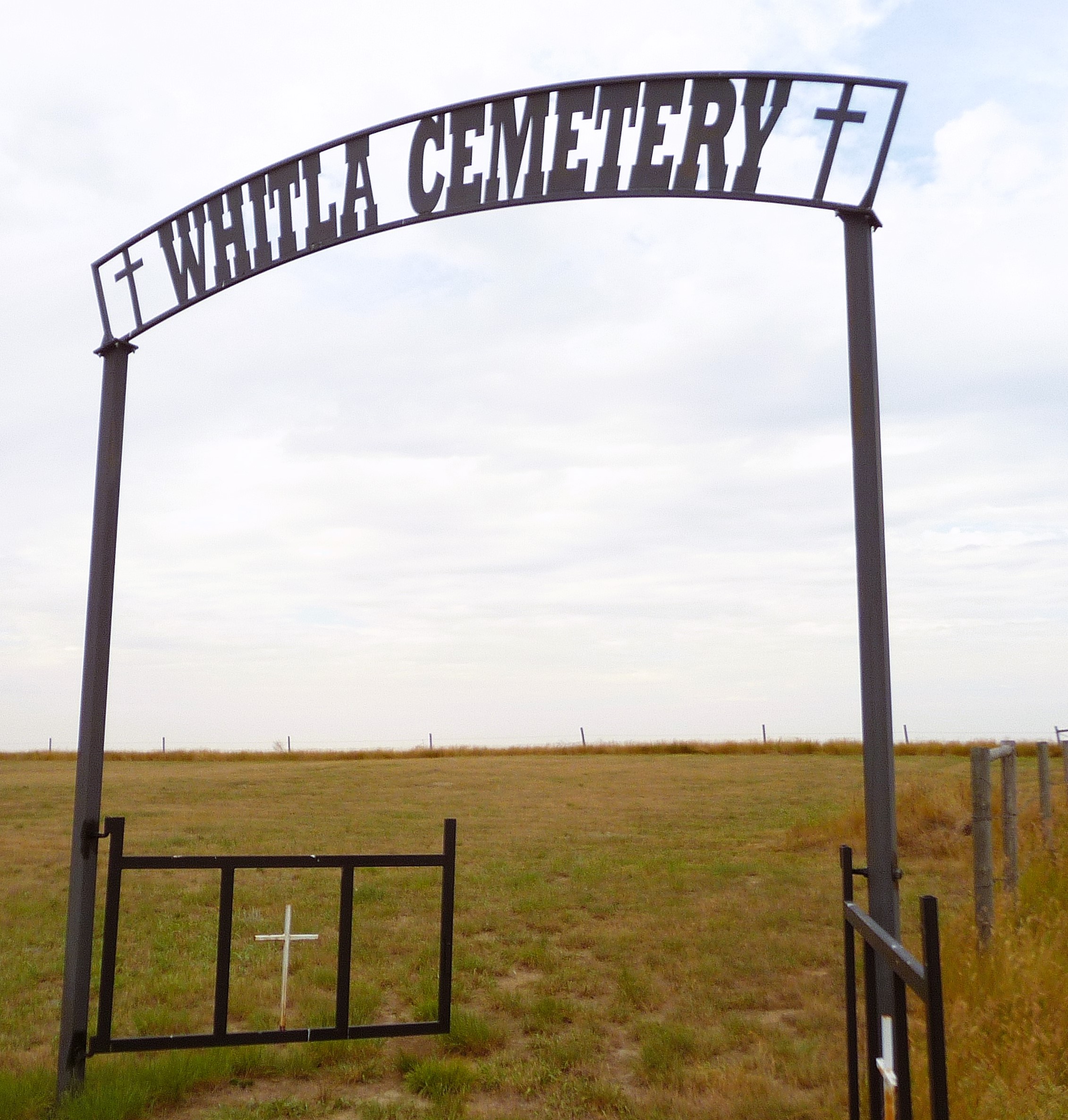
Whitla, an unincorporated community in Alberta, Canada, lies within the County of Forty Mile No. 8.
• Origins and Naming: Like many towns in the surrounding region, Whitla’s story began with the opening of homestead land in 1908. However, even before that, there was some activity. The town owes its name to R.J. Whitla, a Winnipeg merchant who visited the site when it was a mere siding in 1885. Squatters and cattle ranchers had already settled in the vicinity as early as 1884.
• Early Days: The first merchant to set up shop in Whitla was Sam Richardson, who moved there in 1909. Before him, the town consisted of little more than a siding, a section house, and the inevitable dugout for track workers. Richardson built a store with lumber shipped in from Medicine Hat, and behind it, a one-room shack for his family. The following year, Alex and Chris Ashton opened another general store on the north side of the tracks. Their firm was quickly followed by a hardware store, a lumber yard, and a farm machinery business. Despite the Aston store burning down in January 1916, the town continued to grow rapidly, boasting a Union Bank, two cafes, a billiard hall, and three garages.
• Challenges and Triumphs: The settlers and residents of Whitla faced both hardships and moments of prosperity. The 1920s saw a gradual exodus, which accelerated during the 1930s and early 1940s. By the end of World War II, the small homesteads had virtually vanished, replaced by vast farms and ranches. The paving and relocation of Highway 3 in 1949 dealt a final blow to the village’s economy. However, the mid-1950s brought some promise: electricity arrived in 1955, and irrigation from the St. Mary River Project began the following year.
Courtesy of Medicine Hat and District Genealogical Society (MHDGS)
Address
Range Road 84 north of Highway 3
Nearest Populated Centre: Whitla,
Province: Alberta
Map Location
Latitude, Longitude
49.89529, -111.05139
Map Location
| Surname | Given Name | Born | Died | Age | Photos | Cemetery | R Code |
|---|---|---|---|---|---|---|---|
The 25 most common surnames found in this cemetery.

The 25 most common given names found in this cemetery.