Bloomsbury is an unincorporated community in central Alberta in the County of Barrhead No. 11, located 6 km north of Highway 33, approximately 100 kilometres northwest of Edmonton. The cemetery is located at the northeast corner of Township Road 604 and Range Road 35.

Deaths

Longevity

Address

Township Road 604 and Range Road 35
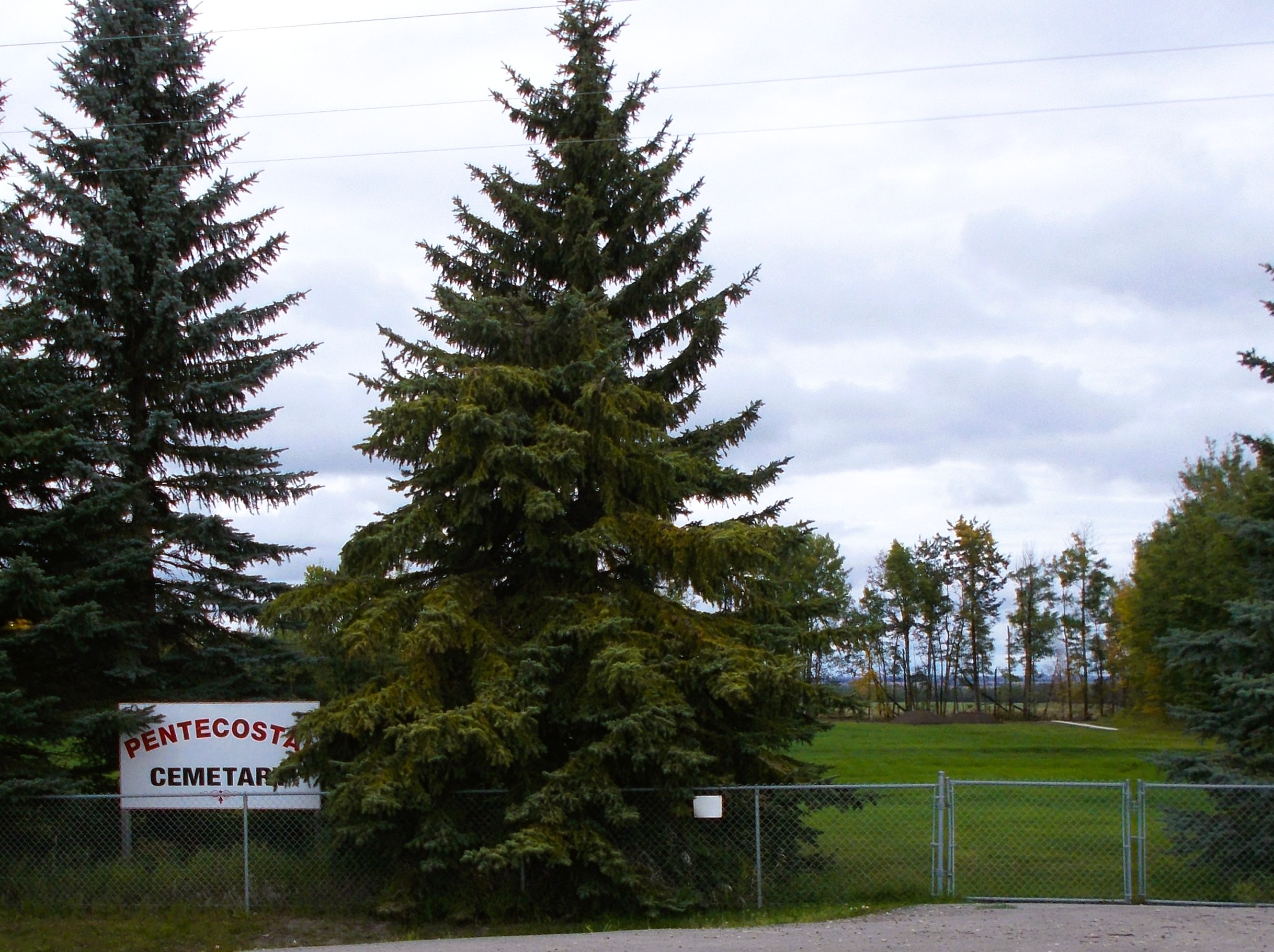
Nearest Populated Centre: Bloomsbury,
Province: Alberta

Map Location

Latitude, Longitude
54.21065, -114.42657

Map Location

Search for:
RESET
Surname Given Name Born Died Age Photo(s) Cemetery Obituary Narrative R Code

The 25 most common surnames found in this cemetery.

loader

The 25 most common given names found in this cemetery.

loader

Other Cemeteries

St. Cecilia's Cemetery (Nanton, MD of Willow Creek)

Range Rd 282, north of Hwy 533 , Nanton , Alberta

Huber Family Cemetery (Cypress County)

Twp Rd 200 & Rge Rd 11 , Sandy Point , Alberta

Church of God Cemetery (Walsh, Cypress County)

Twp Rd 100 & Range Rd 12 (Graburn Road) , Walsh , Alberta

Nemiscam Cemetery (Forty Mile County)

Highway 501 (Red Coat Trail) and Range Road 103 , Nemiskam , Alberta

Brant Cemetery (Vulcan County)

Hwy 804 south of Twp Rd Twp Rd 182 , Brant , Alberta

Baptist Freedom Settlers Cemetery (Cypress County)

SH 515 & Range Rd 31 , Josephburg , Alberta

Norwegian Lutheran Cemetery (Cypress County)

Rge Rd 20 and Twp Rd 160 , Schuler , Alberta

Westview Cemetery (Grassy Lake, MD of Taber)

84028 Range Road 135 , Grassy Lake , Alberta

Goddard Cemetery (Forty Mile County)

Township Road 121 and Range Road 50 , Foremost , Alberta

Enchant Cemetery (MD of Taber)

142044 Range Road 185 , Enchant , Alberta

Discover Alberta Ancestors