Bloomsbury is an unincorporated community in central Alberta in the County of Barrhead No. 11, located 6 km north of Highway 33, approximately 100 kilometres northwest of Edmonton. The cemetery is located at the northeast corner of Township Road 604 and Range Road 35.

Deaths

Longevity

Address

Township Road 604 and Range Road 35
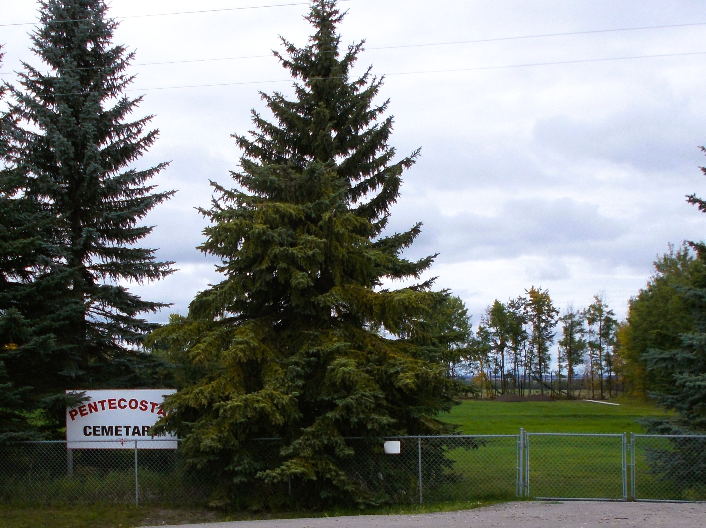
Nearest Populated Centre: Bloomsbury,
Province: Alberta

Map Location

Latitude, Longitude
54.21065, -114.42657

Map Location

Search for:
RESET
Surname Given Name Born Died Age Photo(s) Cemetery Obituary Narrative R Code

The 25 most common surnames found in this cemetery.

loader

The 25 most common given names found in this cemetery.

loader

Other Cemeteries

Haneyville Cemetery (Paintearth County)

Township Road 370 , Haneyville , Alberta

Cremona Cemetery (Mountain View County)

4175 Hwy 580 , Cremona , Alberta

Chinese Cemetery (Calgary)

3205 Macleod Tr SW , Calgary , Alberta

Church of God Cemetery (Schuler, Cypress County)

Twp Rd 162 & Rge Rd 23 , Schuler , Alberta

Wenz Cemetery (Cypress County)

Township Road 204 and Range Road 13 , Sandy Point , Alberta

New Home Cemetery (Forty Mile County)

Township Road 63 and Range Road 50A , Manyberries , Alberta

Last Rest Mennonite Cemetery (Mountain View County)

28139 Twp Rd 320 , Didsbury , Alberta

Hainstock Cemetery (Mountain View County)

Highway 27; 5 km west of Olds , Olds , Alberta

Comrey Cemetery (Forty Mile County)

Range Rd 62 north of Twp Road 22 , Manyberries , Alberta

Westerdale Cemetery (Mountain View County)

32180 Hwy 766 , Westerdale , Alberta

Discover Alberta Ancestors