Etzikom is a hamlet in Alberta, Canada within the County of Forty Mile No. 8.It is approximately 20 kilometres (12 mi) east of Foremost on Highway 61. Etzikom was founded in 1915. Its name comes from the Blackfoot language word for valley or coulee, referring to Etzikom Coulee.
Etzikom is also home to The Canadian National Historic Windmill Centre, a museum dedicated to windmills throughout history.

Courtesy of Medicine Hat and District Genealogical Society (MHDGS)

Deaths

Longevity

Address

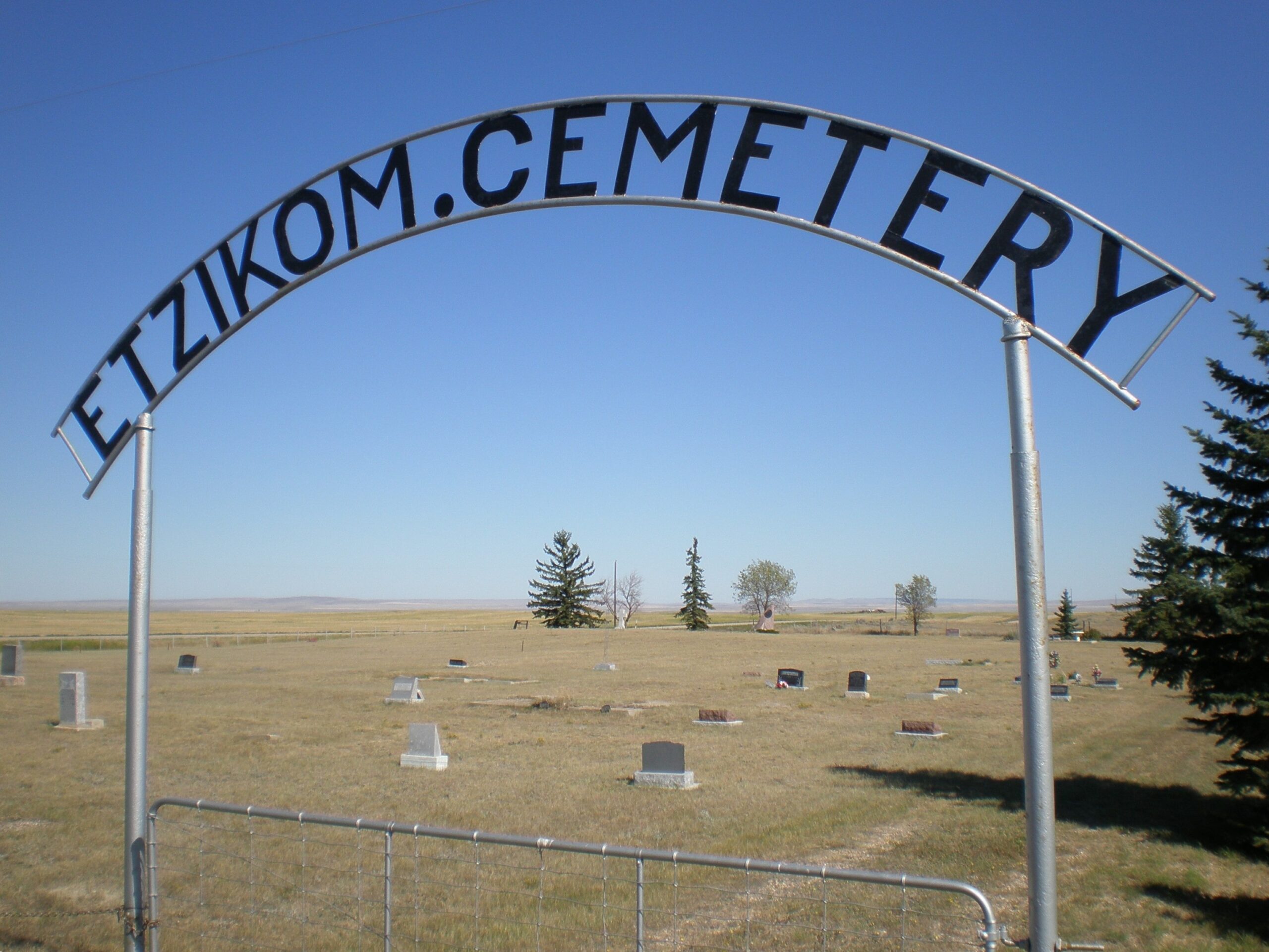
Township Road 64, Range Road 91, Highway 885
Nearest Populated Centre: Etzikom,
Province: Alberta

Map Location

Latitude, Longitude
49.49382, -111.10381

Map Location

Search for:
RESET
Surname Given Name Born Died Age Photo(s) Cemetery Obituary Narrative R Code

The 25 most common surnames found in this cemetery.

loader

The 25 most common given names found in this cemetery.

loader

Other Cemeteries

Beth Tzedec Memorial Park (Calgary)

122 Shalom Way SW , Calgary , Alberta

St. Francis of Assisi Cemetery (Leduc County)

Highway 770 north of Highway 622 , Thorsby , Alberta

Sunnynook Cemetery (Special Area No. 2)

Township Road 272 E of Range Road 124A , Hanna , Alberta

Standard Cemetery (Wheatland County)

Highway 840 & Cemetery Road , Standard , Alberta

Rosebud Cemetery (Wheatland County)

Twp Rd 272 , Rosebud , Alberta

Franciscan Friars Cemetery (Rocky View County)

41160 Retreat Road , Cochrane , Alberta

Lone Butte Cemetery (Special Area No. 2)

Highway 570 and Range Road 151 , Dorothy , Alberta

Knee Hill Valley Divide Cemetery (Red Deer County)

Twp Rd 350 west of Rge Rd 264 , Knee Hill Valley , Alberta

Gilby Cemetery (Lacombe County)

Range Road 33A S of Highway 12 , Gilby , Alberta

Schmidt Family Cemetery (Cypress County)

Twp Rd 150 and Rge Rd 14a , Schuler , Alberta

Discover Alberta Ancestors