Deaths

Longevity

Address

Highway 795 and Range Road 251
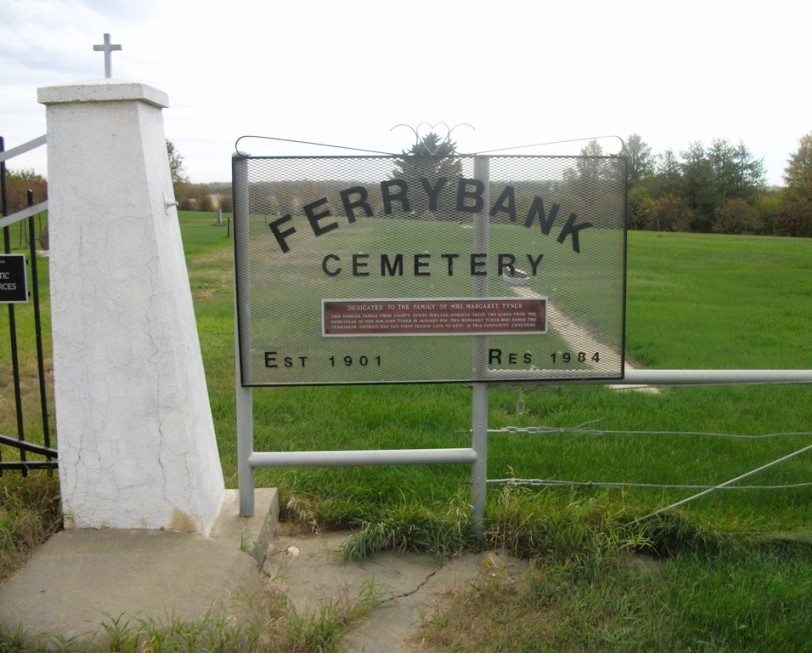
Nearest Populated Centre: Ponoka,
Province: Alberta

Map Location

Latitude, Longitude
52.7557, -113.80047

Map Location

Search for:
RESET
Surname Given Name Born Died Age Photos Cemetery R Code

The 25 most common surnames found in this cemetery.

loader

The 25 most common given names found in this cemetery.

loader

Other Cemeteries

Arrowwood Cemetery (Vulcan County)

Range Rd 233 just south of Twp Rd 205 , Arrowwood , Alberta

Glen Banner Lutheran Cemetery (Forty Mile County)

Township Road 72 and Range Road 64 , Orion , Alberta

Hill Spring Cemetery (Cardston County)

Township Rd 43A , Hill Spring , Alberta

New Home Cemetery (Forty Mile County)

Township Road 63 and Range Road 50A , Manyberries , Alberta

Hilda Baptist Cemetery (Cypress County)

Twp Rd 174 & Range Rd 12 , Hilda , Alberta

Vockeroth Cemetery (Cypress County)

Township Road 120 and Range Road 30 , Irvine , Alberta

Nemiscam Cemetery (Forty Mile County)

Highway 501 (Red Coat Trail) and Range Road 103 , Nemiskam , Alberta

Sunnynook Cemetery (Special Area No. 2)

Township Road 272 E of Range Road 124A , Hanna , Alberta

Bradshaw Cemetery (Ponoka County)

Range Road 40 S of Township Road 414 , Leedale , Alberta

Hilda Congregational Cemetery (Cypress County)

Twp Rd 180 & Rge Rd 21 , Hilda , Alberta

Discover Alberta Ancestors