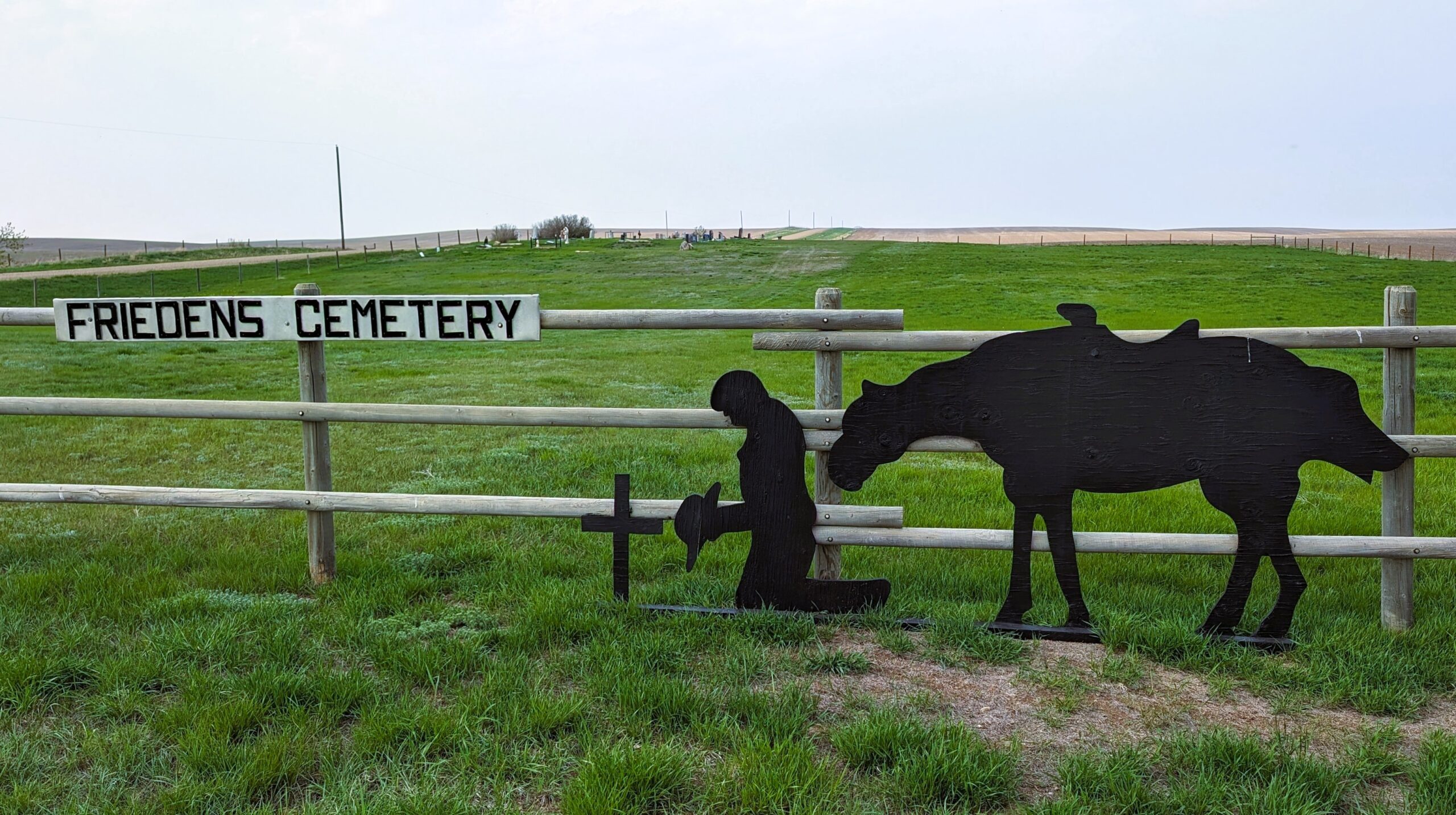
Friedens Cemetery was established in 1913 on land probably donated by the Reinholt Siewert Homestead.
This cemetery is located about 7½ miles south and 2½ miles west of Hanna.

Source: https://www.findagrave.com/cemetery/2516062/friedens-cemetery

Deaths

Longevity

Address

Range Road 151 and Township Road 300
Nearest Populated Centre: Hanna,
Province: Alberta

Map Location

Latitude, Longitude
51.53336, -111.99708

Map Location

Search for:
RESET
Surname Given Name Born Died Age Photo(s) Cemetery Obituary Narrative R Code

The 25 most common surnames found in this cemetery.

loader

The 25 most common given names found in this cemetery.

loader

Other Cemeteries

Hand Hills Baptist Cemetery (Special Area No. 2)

Range Road 163 and Township Road 302 , Hanna , Alberta

Namaka Mennonite Cemetery (Wheatland County)

Namaka, Strathmore Census Division , Carseland , Alberta

Wimborne Cemetery (Kneehill County)

334039 Hwy 805 , Wimborne , Alberta

Richdale Cemetery (Special Area No. 2)

Highway 9 west of Hamlet of Richdale , Richdale , Alberta

Cayley Cemetery (Foothills County)

88207 - 658 Avenue E , Cayley , Alberta

Zion Lutheran Cemetery Site 1 (Cypress County)

Twp 180 and Rge Rd 24 , Hilda , Alberta

Zion Cemetery (Many Islands, Cypress County)

Township Road 132 and Range Road 21 , Many Islands , Alberta

Gnadenfeldt Baptist Cemetery (Cypress County)

Twp Rd 202 & Rge Rd 12 , Sandy Point , Alberta

Sharon Cemetery (Vulcan County)

26531-26501 Twp Rd 174, SW of Brant; NE corner of Rge Rd 270 & Twp Rd 174 , SW of Brant , Alberta

Rosebud Cemetery (Wheatland County)

Twp Rd 272 , Rosebud , Alberta

Discover Alberta Ancestors